×

|
Rate it:
Tags:
Level: Intermediate
Length: 7 mi (11.3 km)
Surface: Singletrack
Configuration: Out & Back
Elevation: +600/ -597 ft
Total: 57 riders
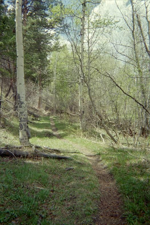
Mountain Biking Dadd Gulch
#210 of 1,430 mountain bike trails in Colorado
Smooth singletrack out-and-back up the gulch and back down. This trail accends faster than Hewlett Gulch and Young Gulch. Many creek crossings. Nothing too technical, but some moderate climbing. The upper end of the trail connects with Dadd Gulch Road (FR 259) that can be used to with FR 263 to make a loop at the top. This trail really rips on the way back down. There are many old road-closure dirt piles that can be used to get big air!
First added by dauw on May 21, 2006. Last updated Apr 30, 2020. → add an update
Before you go
- Drinking water: unknown
- Lift service: unknown
- Night riding: unknown
- Pump track: unknown
- Restrooms: unknown
- Fat bike grooming: unknown
- E-bikes allowed: unknown
- Fee required: unknown
This trail information is user-generated. Help improve this information by suggesting a correction.
Take HWY 14 west from Fort Collins up Poudre Canyon for 29 miles from US 287 junction. Trailhead on left.


Nice steady climb on the way out with some short steep sections. Really nice DH on the way back that just keeps on giving. It's fast. Let it go, and let the full suspension do its thing. There are places to get a little air time throughout. Constant curves. The payoff definitely exceeds the payment.
| ThankFun little out-and-back. Wish it were longer... Watch out for stinging nettle along the trail! I got hit a couple of Times
| ThankNice ride on a hot day in FtC. 50% shade, and I counted 22 creek crossings. The crossings were only 2-4in deep today. There is some technical stuff around the creek crossings, and there are a few rock gardens that aren't tied to the creek. All the gnarly spots have multiple lines. The trail started out 5-6ft wide and narrowed to nearly nothing before meeting the forest service road at the top. I only saw two other people on the trail on a Sunday with pretty high traffic on hwy 14. After the ride up, I was expecting to fly back down, but the combo of the rocks, the narrow trail, and the short sight lines were pretty good at limiting my speed. This was my first time on Dadd, but I had a great time.
| ThankSuper fun trail! Nice long climb with plenty of stream crossings to keep those feet cool. Optional rollers to catch air on the decent.
| ThankGreat trail, we had a lot of fun. Perfect for our dog although the stream beds were kinda empty with the lack of rain we have had this past summer. It was our first ride in like a year, so it was great to get us back into it, just the right amount of up and fun down. We definitely stopped a good bit since we are kinda out of shape, but a few more rides and that wouldn't have been a problem on this trail. I only remember one short section that I may not be able to do even when back in shape.
| Thankrode this on labour day. Only saw a handful of hikers and cyclists. Good steady climb, fairly steep at times, but not technical. The downhill was excellent; overall a great intermediate ride.
| ThankWith not many great trails in the Ft. Collins area, this is one of the best. Multiple small stream crossings and a moderate steady climb to the top through the aspens and awesome descent. Not to rocky either.* Review edited 7/23/2010
| ThankThis trail is a blast! Great scenery and shaded for the most part. However, I would not consider it a beginner trail. It is more of an intermediate trail. It is 3.5 miles of steady incline with some steep rocky inclines. It was only my 3rd ride ever and I had to walk my bike a lot, but it was well worth it and a ton of fun. Coming back down was a blast and the 3.5 miles went quick.
| ThankNice ride with some shade with creek crossings. For running the dog. Peaceful creek.
| Thank