×

|
Rate it:
Tags:
Level: Beginner
Length: 1 mi (1.6 km)
Surface: Singletrack
Configuration: Out & Back
Elevation: +42/ -102 ft
Total: 13 riders
Mountain Biking Coyote Run Trail
#599 of 1,015 mountain bike trails in California
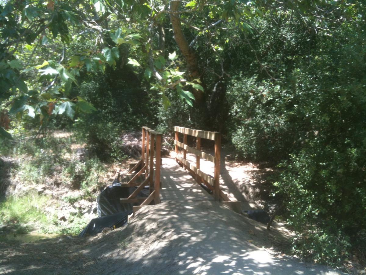
Approx just over a mile of fairly flowy, mostly flat-ish single track through meadows and trees - and by one patch of poison oak (which is sign posted!). It mostly parallels the Wood Canyon (fire road) trail.
First added by swerverider on Mar 27, 2013. Last updated May 8, 2020. → add an update
Before you go
- Drinking water: unknown
- Lift service: unknown
- Night riding: unknown
- Pump track: unknown
- Restrooms: unknown
- Fat bike grooming: unknown
- E-bikes allowed: unknown
- Fee required: unknown
This trail information is user-generated. Help improve this information by suggesting a correction.
There are 3 places to start on the Coyote Run Trail. There is a wooden bridge from Wood Canyon trail or you can start south to north at the bottom of Mathis, near where Mathis meets Wood Canyon. Going down Rock It will also bring you to Coyote Run.


This is the best option for heading back towards the parking area after doing Lynx or Rockit. Better done downhill although it does get some uphill traffic. Gets really rutted with a lot of brake bumps when it's dry.
| Thank