×

|
Rate it:
Tags:
Level: Advanced
Length: 20 mi (32.2 km)
Surface: 4x4 Trail
Configuration: Out & Back
Elevation: +1,729/ -1,661 ft
Total: 52 riders
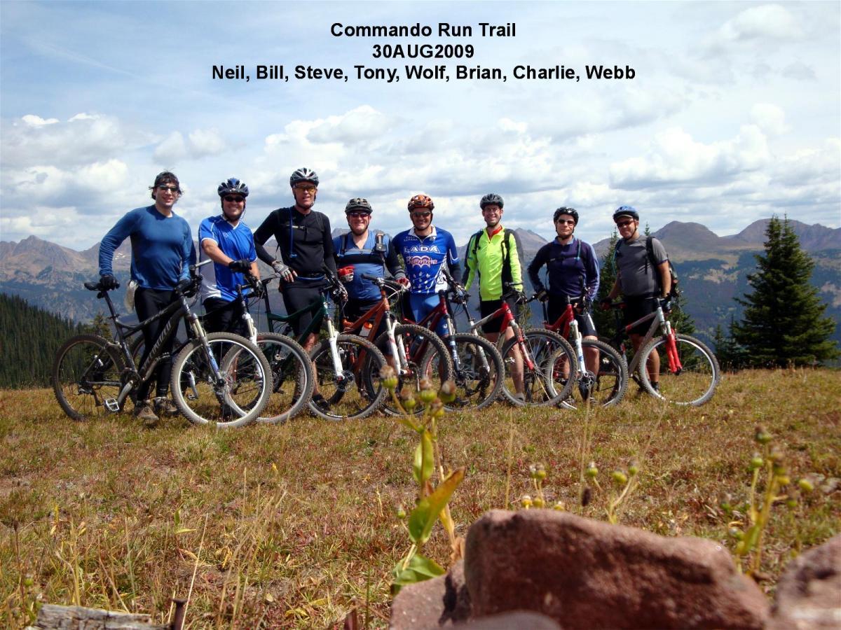
Mountain Biking Commando Run
#202 of 1,395 mountain bike trails in Colorado
Once on the mountain ride up the Village Trail to where you can see Chair ten about 1.5 miles in
and take a left continuing uphill.stay on this road an pass all spurs untill ontop of Benchmark at
abou 10 miles in. Turn right then a quarter mile later left. The right should keep you heading
west not heading south. If it takes you south you took did not see the spur on the left (the right
turn). When you are done soaking in the veiw turn around and trace your route back to Vail.
First added by Lancefan on Aug 21, 2007. Last updated Apr 28, 2020. → add an update
Before you go
- Drinking water: unknown
- Lift service: unknown
- Night riding: unknown
- Pump track: unknown
- Restrooms: unknown
- Fat bike grooming: unknown
- E-bikes allowed: unknown
- Fee required: unknown
This trail information is user-generated. Help improve this information by suggesting a correction.
Exit off I-70 at Vail and find a place to park. From there bike to the closest mountain access
point (they change frequently).


Fantastic alpine Singletrack! A Colorado Classic!
| ThankI've done this ride many times. A good way to ride this is down Two Elk creek back to Minturn from the top of Benchmark. That is a truly great downhill that goes on for many miles. Another climb option is backwards up Cougar Ridge at the fork about a quarter mile from the start of the trail. Also not a climb for the faint hearted. Or from Vail up Lionsway to Fred's Lunch, to Grand Traverse. I like your attitude. That is a great way to get to the top of Benchmark. You must be strong.
| ThankThe best descent from China Wall at Benchmark where you headed east is south back to Minturn down Two Elk creek. Incredible downhill. I've done this ride many a time. Another option is climbing Cougar Ridge backwards instead of Game Creek. I like your attitude. That is an aggressive climb.
| ThankWe shuttled this starting at Vail Pass, riding Bowman's shortcut to Two Elk, through the back bowls of Vail and ended in Minturn. It was a LOT of steep climbing, some 1900 feet, but actually less than I anticipated. I walked a few sections trying to save my legs, but had I known 'we were almost to the top' I could have ridden all of it...and so can you if you whip out the gnar. The first section of downhill is steep, rooty, rocky, twisty, and, well...awesome. However, you quickly bump into another steepish 20% grade climb that is a few hundred yards, then it is all downhill from there. Honestly. Once you see the sign that says "Two Elk Pass" go right to go to Vail, or continue straight to go to Minturn...our route...which turns into very narrow, overgrown, loose, twisty singletrack into the back bowls. It is awesome....but I took a digger on a washed out corner trusting too much in the loose berms. Once your reach a road next to a lift, stay on the trail by continuing down the singletrack towards the creek. You will ride the undulating creek for several more miles before you are done. This section is muddy, also overgrown, and full of rocks in awkward places that are definitely fun but require fitness and finesse to see them and maneuver to get up over them. Some features come up quick due to the thick vegetation, and there is a high cost of failure in a few places (you will see). So have fun but take this part seriously. Unfortunately it is not flowy or fast in most places, and requires pedaling up/over/around obstacles which interrupts speed and keeps your eyes off of the amazing scenery. Once you cross the small foot bridge, you are almost done, finishing with a fast, flowy, smooth singletrack back to the Two Elk trailhead. The views are incredible, but it is hard to look around because instead of focusing 50-100 feet in front of you, you pretty much have to focus on the trail in front because the grasses and weeds obscure your view in most of the backcountry sections. I can't wait to go back...
| Thank8/08/10, started in East Vail, rode up Vail Pass bike path (slog), rode up and over Shrine Pass, up Bowmans Shortcut, down to Two Elk Pass, then down Two Elk trail to Minturn for a total of 29 miles. Bowmans and Two Elk are all singletrack, with the last five miles of Two Elk a technical ride on a 6" wide trail with rocks hidden by the tall grass.
| ThankOur stats for this ride were 18.78 Miles; 2:16 minutes moving time; 1978 feet ascent; 4657 feet descent. We did this as a shuttle ride, with a car left in Minturn. We started riding at Vail Pass, parking on the west side of I-70. Climb Shrine Pass Road, past Shrine Pass, continuing to near the intersection of Timber Creek Road and Lime Creek Road. Continue on singletrack, switchbacking up to ridgeline that heads west and then tops out at about 11,700'. Continue following the ridgeline as it turns north and hooks up with the Two Elk Trail at Two Elk Pass (11,000'.) Turn west and follow the trail through the back bowls of Vail, eventually dumping out at the RR tracks south of Minturn, and head north and northwest into town to your shuttle car.* Review edited 9/6/2009
| ThankThis is a great ride with alot of amazing views. This ride can also be combined with either Two Elk or Bowman's Short cut by taking heading down to Two Elk Pass using the Two Elk Connecter Trail.
| Thank