


If you are looking for a high alpine, epic ride in southwestern Colorado this route is well worth checking out. The majority of the ride is between 11-12,000' elevation, and even though it is only 22 miles, those high elevation miles can require some big breaths to gain. This route combines mellow, alpine riding with one of the most rocking singletrack descents you will find anywhere. The last section of the trail drops about 2,500' vertical in under five miles -- that's a downhill! Other than a few scattered obstacles there is nothing technical on this ride; it combines miles of high country cross country riding with fast and thrilling downhill.
WARNING: Do not take this route if it has been wet in the high-country. The high alpine portion near Rolling Pass and Engineer Mountain can be deep muck if there has been prolonged precipitation, so do yourself and the trail a favor and avoid this area when it is wet.
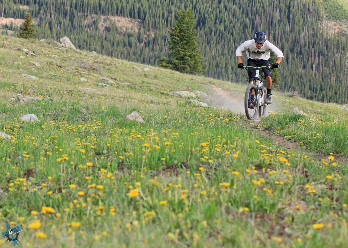
Start out at Molas Pass and head west on the Colorado Trail. This is nice, open, alpine terrain that gradually climbs up to the Engineer Trail at 12,150' in a bit under 11 miles. This section of the Colorado Trail offers great views of the San Juan mountains, and other than a few steep sections is a pretty mellow and fun ride.
Once you get to the the Engineer Trail you continue a short climb toward the crest of the trail near Jura Knob and then start a *steep* descent toward the intersection with the Engine Creek trail. This portion of the trail is heavily rutted, often slippery, and far from medical rescue, so pay attention while working your way down the steep switchbacks. After passing the intersection for the Engine Creek Trail, you (sigh) quickly have to regain much of the elevation lost during the steep descent. After a few, steep, hike-a-bike switchbacks you get back to a more reasonable grade and can pedal up to the saddle on the east side of Engineer Mountain, passing the intersections for the Deer Creek/Coal Creek and Pass Trails on the way.
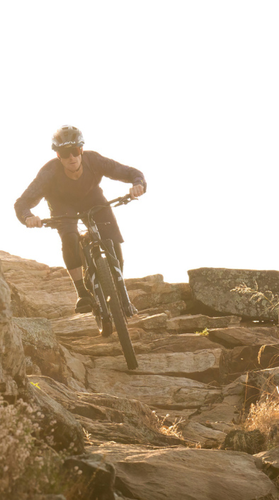
This is where the fun begins! After topping out at around 11,700' elevation the trail heads down into steep, fast, narrow, twisty, root-pounding, rock dodging fun that will leave your face aching from grinning too long. This section of the trail drops 2,500' and you will likely have your brakes on most of the way. I have to say that this is one of the funnest sustained downhills I have ever ridden.
Once you get to the bottom of the Engineer Trail you can stop at that trailhead, or, if you want to add a couple more miles of cross country riding, pick up the Cascade Creek Trail at the southwest corner of the pond and continue pedaling up the Cascade Creek Valley and finish the ride back on highway 550. If you are tired of pedaling you can call it a day at the Engineer Trail trailhead.
If you are more interested in fast downhill than high alpine cross country riding then cut out the Colorado Trail segment. Starting at Coal Bank Pass, take the Pass Trail west and grunt your way up to the Engineer Trail. This is a long, steep trail that picks up 1,400' of elevation in about 2.5 miles, but it cuts out about 16 miles of xc riding.
I highly recommend the Latitude 40 Durango Trails map for riding in this area.


This is a strenuous, high elevation ride starting at Molas Pass on the Colorado Trail. The scenery is amazing, and there are definitely some fun moments along the way.
| ThankAdding ratings.
| Thank