×

|
Rate it:
Tags:
Level: Beginner
Length: 12 mi (19.3 km)
Surface: Fire Road
Configuration: Lariat
Elevation: -
Total: 19 riders
Mountain Biking Calaveras Big Trees / South Loop
#255 of 1,015 mountain bike trails in California
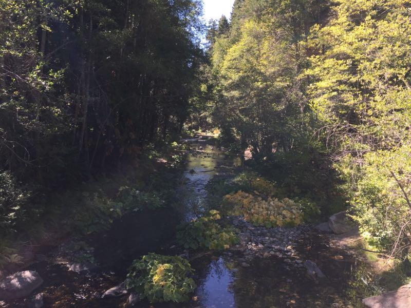
Take Memoriol Parkway to the end past Beaver Creek Picnic Area. Park at the back end of the paved loop. Fire road starts on other side of the gate. Stay right on road until your past the bridge. then right at first crossing, right at second crossing, left at the second crossing. Then just stay left for the loop, very, very rustic, no tracks, nothing for 100 miles south of you which is why you bought the map. Did you like bears you will smell them before you see them.
First added by Juan_Gear on Jun 23, 2005. Last updated Apr 30, 2020. → add an update
Before you go
- Drinking water: unknown
- Lift service: unknown
- Night riding: unknown
- Pump track: unknown
- Restrooms: unknown
- Fat bike grooming: unknown
- E-bikes allowed: unknown
- Fee required: unknown
This trail information is user-generated. Help improve this information by suggesting a correction.
About 5 miles above Arnold into big trees. Pay your money and buy a map


I can't rate this trail high enough. I'm a bit hesitant to post about it for fear it will become too popular. Sure, it's out of the way, but that just adds to it. Go to www dot geoladders dot com and search for Calaveras for a full review and more pictures of rides I've done here.
| Thank