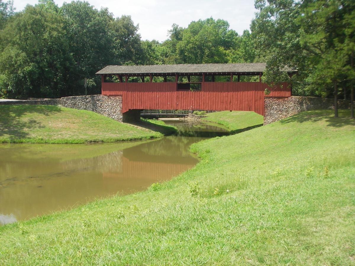
Green Trail Access from Boy Scout Trail gravel parking area on Arlene Laman Drive, .2 mile south of I- 40 bridge. From the large Burns Park Trail sign at the east end of the parking area, turn left on the gravel path and follow it north for 75 yards to the Green Trail painted with lime green blazes. Riders can turn left or right to follow this trail. By turning right the trail leads riders 75 yards to the Red Trail. The Green trail is a 4.7 mile singletrack loop that climbs and descends through Burns Park. The trail climbs the river ridge and offers several scenic vistas of the Arkansas River valley and downtown Little Rock. The Red trail is a (1.75 mile ) loop that traverses the hill inside the Green trail loop. Red Loop Trail Access from Boy Scout Trail gravel parking area on Arlene Laman Drive, .2 mile south of I- 40 bridge. From the large Burns Park Trail sign at the east end of the parking area, turn left on the gravel path, follow north for 75 yards then bear right on gravel (painted with green blazes) for 75 yards to the intersection of the Red and Green trails. The red trail is a 1.74 mile loop that traverses the hill inside the Green trail. Yellow Trail 2.2 miles long, easy, suitable for beginners, not rocky or technical. Avoid in winter and after a rain as it is often very muddy. The alluvial, river-bottom soil does not drain well. The trail flows between the Soccer fields and the river ridge through the bottomland hardwood alluvial floodplain forest. The red covered bridge parking lot is an ideal spot for starting this loop ride. It also provides easy access to the Red Trail. Pfeifer Loop 1.8 miles long, easy, suitable for beginners and families. This loop trail begins at the paved turnaround at the east end of the Big Dam Bridge parking lot. Access this parking area from Cooks Landing Road. The loop trail winds through the AR river floodplain in a loop that returns to the starting point. Riders also use the Pfeifer Loop trail to access the Burns Park Yellow trail. A shortcut trail bisects the Pfeifer Loop and travels north to the Yellow trail and the paved Arkansas River trail. Flat and curvy. Suitable for families and kids.


What a great place to bike. With all of the trails to ride there is something for everyone.
| ThankGreat trail. I would call it between intermediate and advanced because most of the trail is one huge rock garden. There are some smooth areas and very little man made obstacles but mother nature put enough in here to make it more difficult the intermediate.
| ThankA multi-use trail that is holding up well to the horse traffic. Mostly rocky, fun terrain. Pretty easy to follow the markers though there can be some confusion when different colored trails share the same route. Has everything from low flat areas to climbs resulting in a scenic overlook.
| ThankI started with the green loop trail from the BSA parking lot. It's an easy/intermediate trail with easy downhills and some rocky and rooty climbs. Next I rode the yellow loop which is fairly flat and fun to ride.
| ThankI rode this trail in the Spring. It was a good trail. Well marked and easy to follow. There are some really fun descents as well as some great climbs. Rocks and roots were not to difficult to overcome and added a good bit of terrain to the ride. Easy to find and several locations to start off. I liked the river side best because of the challenging climb and the payoff at the lookout and finally the descent. Watch for cars when crossing the road, they are not looking for you!
| ThankDecent trail, some climbs can be tough but very doable. The fun factor wasn't that great. Though I only did the green trail. I need to get back out there and try the red (or is it orange) trail.
| ThankI absolutely love Burns. There is something for every skill set out there. The green and yellow trails can get quite muddy after a rain, so take that in mind.
My advice for anyone on their first ride- park at the BMX track and ride the green trail across the street. That will take up up the hill and eventually to a couple of lookouts. Once at the top, you will find a rockpile- there is an "decommissioned" downhill course there. You can still ride that course, but beware of the platforms.
The trail will take you back across the street and wind through some low lying area (again, beware of deep mud) and back uphill. This part rocks! It is about a mile long of straight downhill. After you are done with that, you will find more green blazes on your right, or you can call it short and continue on that paved path and past the RV park. Hook a left and you will find yourself back at the BMX lot.
Anyone looking for a place to ride in central AR should check this place out first. Disclaimer- this is a shared park, and you will run in to horseback riders. Please be kind and yield.
| ThankHuge system of trails. Stay toward the runway side and the trails are hard pack without many climbs (fast!). Move west away from the runway and the trails get rocky fast with big switchback climbs. Truly, there is something for everyone (or for whatever mood you are in on a particular day). Love this trail system.
| ThankWell maintained trail system by Bert, Arkansas Master Naturalist, and volunteer stewards. The Yellow Trail is flat and smooth; the Red and Green Trails are very rocky with climbs and descents and creek crossings. Visit nlrpr.org for park road and trail maps. Check out the Burns Park Mountain Bike Group for rides and more info. on meetup.com
| ThankMost of this trail is single track that weaves in and out of the woods. As with most trails in this area there are the various rocks and roots to contend with. The trail is well laid out in the park with plenty of bail out points. There are a few technical areas that require some good handling skills. For the most part this trail is fast, tight and twisty. For more information check out www.mtbark.com
| ThankFun trail system close to Little Rock. There are lots of ways to start at Burns Park. I'm still getting familiar with the trail but I prefer to start at the BMX track and enter across the road from the track. You start out with a nice little climb and great overlook. I stay on the orange / yellow trail sections (seems to flow nice). The yellow section can be really swampy and not much fun if there has been any rain.
| ThankTrail is receiving a lot of TLC. Wet spots being fixed, rerouting, etc,; so GPS track will not be very accurate. However with freshly painted blazes, and the confusing trails blocked off, will have no problem getting around. The work has made the trail easier, but more fun. Still a lot of rocks though.
| ThankGreat little trail system with some good variety. Given the other trails close to Little Rock (Camp Robinson, Allsop), this adds some variety to weekend riding.
| ThankAbout 6 trails in all. Trails weave throughout the park so can be accessed from many points. Tried to ride everything and ended up with 16 miles. Trails were rockier than expected, would rate everything intimidate except for the Equestrian Yellow which is mostly flat and smooth. In the park are a pump track, BMX track, a buffed bermed flowing fun trail, (near BMX track), and a downhill with jumps (near the overlook). A good way to spend an hour or two without leaving the city.* Review edited 7/12/2010* Review edited 7/12/2010
| ThankFun trail for after work ride or visiting Little Rock. Some long hilly sections and some long downhills. Overall pretty smooth trail but there are some rocky sections.
| Thank