×

|
Rate it:
Tags:
Level: Intermediate
Length: 15 mi (24.1 km)
Surface: Fire Road
Configuration: Loop
Elevation: +151/ -153 ft
Total: 7 riders
Mountain Biking Blackie To Benner Run Trail
#141 of 295 mountain bike trails in Pennsylvania
from park cross bridge and take left down stream after about 4-5 miles it becomes benner run road. take this uphill climb back towards rte. 504 and make a right towards the state park.
First added by nut9863 on Aug 13, 2011. Last updated Apr 28, 2020. → add an update
Before you go
- Drinking water: unknown
- Lift service: unknown
- Night riding: unknown
- Pump track: unknown
- Restrooms: unknown
- Fat bike grooming: unknown
- E-bikes allowed: unknown
- Fee required: unknown
This trail information is user-generated. Help improve this information by suggesting a correction.
from philipsburg take rte. 504 9 miles to black moshannon state park.
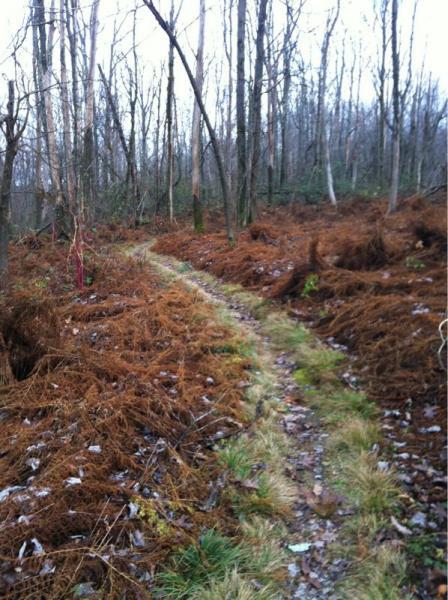

this area is awesome you can stay her a week at the park and still not ride all the trails. it has easy lolli,s and some single traks through the woods.
| Thank