×

|
Rate it:
Tags:
Level: Easiest
Length: 15 mi (24.1 km)
Surface: 4x4 Trail
Configuration: Out & Back
Elevation: +234/ -232 ft
Total: 11 riders
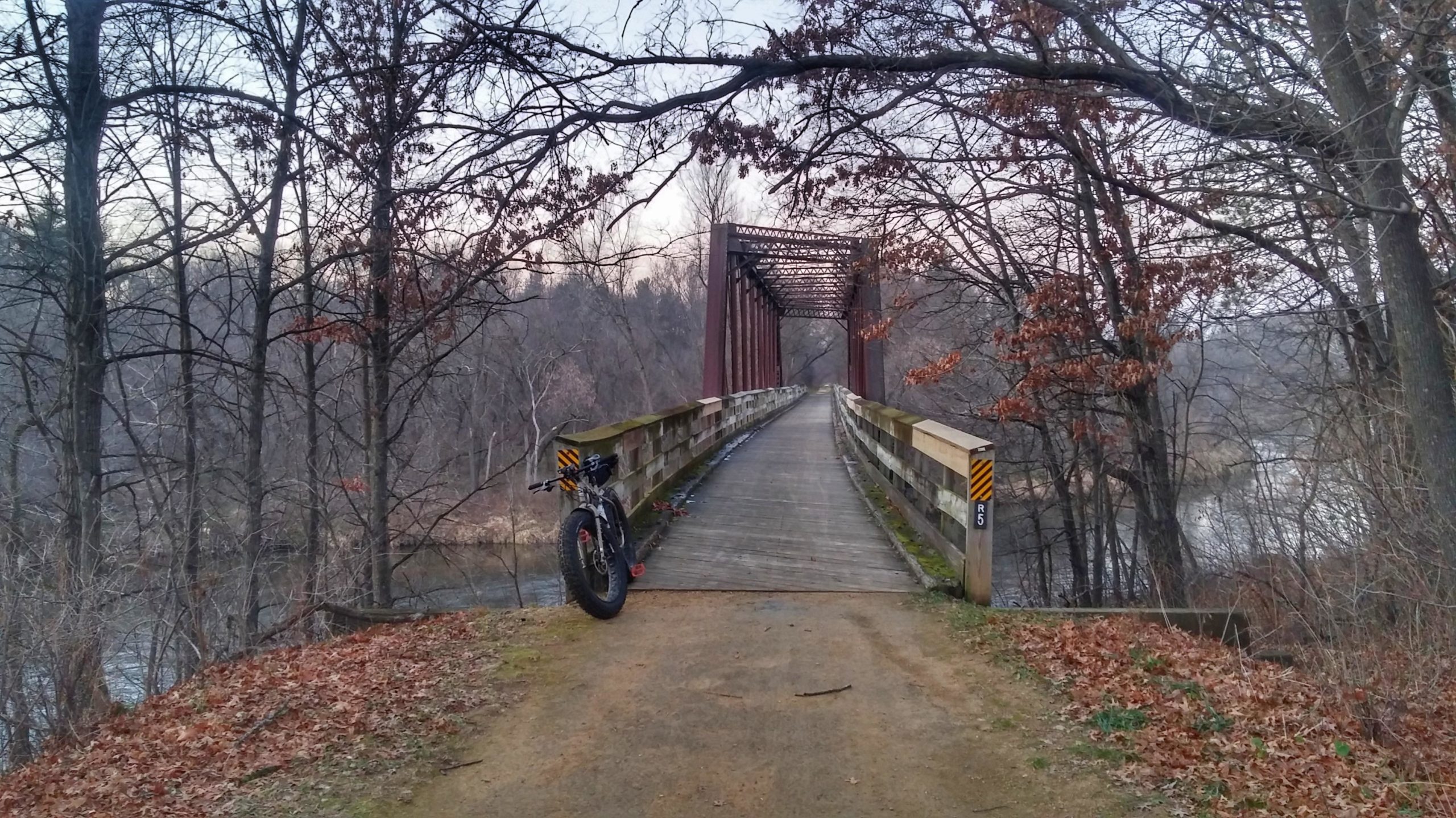
Mountain Biking Red Cedar State Trail
#125 of 392 mountain bike trails in Wisconsin
Red Cedar Trail is 14.5-trail that runs along the Red Cedar Valley. There is plenty of wildlife and scenery to go around here and activities include hiking, mountain biking, canoeing, kayaking, cross-country skiing and snowshoeing.
First added by TrailAPI on Apr 18, 2013. Last updated Apr 28, 2020. → add an update
Before you go
- Drinking water: unknown
- Lift service: unknown
- Night riding: unknown
- Pump track: unknown
- Restrooms: unknown
- Fat bike grooming: unknown
- E-bikes allowed: unknown
- Fee required: unknown
This trail information is user-generated. Help improve this information by suggesting a correction.
Menomonie: The depot building/visitor center along Highway 29 on the west side of Menomonie serves as the northern trailhead for the Red Cedar State Trail. Parking and trail passes are available.


if you want to take your mother father along at a nice easy flat trail with beautiful scenery this is the one for you
| Thank