×

|
Rate it:
Tags:
Level:
Length: 19 mi (30.6 km)
Surface: Singletrack
Configuration: Network
Elevation: -
Total: 4 riders
Mountain Biking Lower Nanamocomuck Ski Trail
#69 of 114 mountain bike trails in New Hampshire
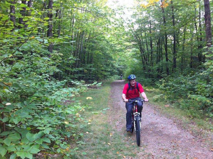
This trail offers something for every rider. It starts out with a fairly flat course that runs along the beautiful Swift River. Soon, however, the trail becomes more challenging with an abundance of rocks and roots. As a beginner rider, I didn't find this trail too daunting, though. It is a good ride for beginner to advanced cyclists.
First added by markpechenik on Sep 30, 2010. Last updated Apr 28, 2020. → add an update
Before you go
- Drinking water: unknown
- Lift service: unknown
- Night riding: unknown
- Pump track: unknown
- Restrooms: unknown
- Fat bike grooming: unknown
- E-bikes allowed: unknown
- Fee required: unknown
This trail information is user-generated. Help improve this information by suggesting a correction.
Take Route 16 North in New Hampshire into Conway, New Hampshire (about a two and a half hour drive from Boston). Once in Conway, turn left onto Route 112 at traffic light (this is the Kankamagus Highway). Travel about 6.5 miles to the Albany Covered Bridge on your right (this is Dugway Road). Travel over bridge, turn left at sign onto trail.