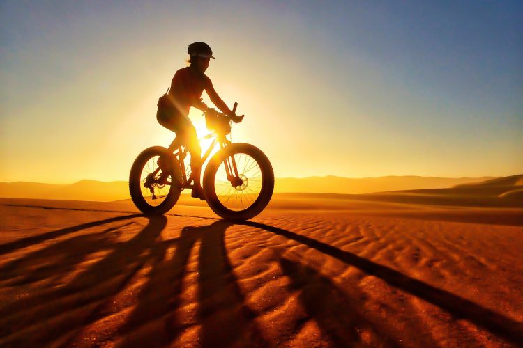
With family obligations, finding deep backcountry fat bike opportunities are rare for a lot of us. One of my goals this season was to search out fat bike trails on the way to ski resorts from Denver, particularly along the I-70 corridor, so that I could ski a half day and fat bike on the way home. Bakersville is a perfect example of that type of destination, which a friend recommended to me after reading this article in the Denver Post.

Bakersville is one of those exits that few travelers pay attention to unless they are trying to re-route when stuck in apres-ski traffic. With no services, no nothing, it is easily overlooked as a blip on the map. Interesting though, is that there is a trail that starts here and parallels I-70 along Clear Creek all the way to Loveland Ski Resort.
When snow is on the ground, the trail is open to non-motorized patrons including hikers, snowshoers, skiers, and of course fatties. The key is to hit the trail when the other users have packed it in well, and ideally with 1-2″ of fresh on top of that for traction.
To access this trail, exit at Bakersville (exit 221) and park on the south side of the interstate, at the corner where Stevens Gulch Rd intersects E Bakerville Rd, in a lot where an old brick chimney is adorned with graffiti. You can actually bike up Stevens Gulch Rd during the winter if you are looking for more elevation and switchbacks, but the Bakersville-Loveland trails starts at this lot and heads due west along Clear Creek. It is easily visible from the brick chimney.
Trail trail starts out at 9,790ft and climbs gradually over five miles to Loveland (near the bottom of the Boomerang run at Loveland Basin) at roughly 10,600ft, making a nice 10-mile out-and-back.
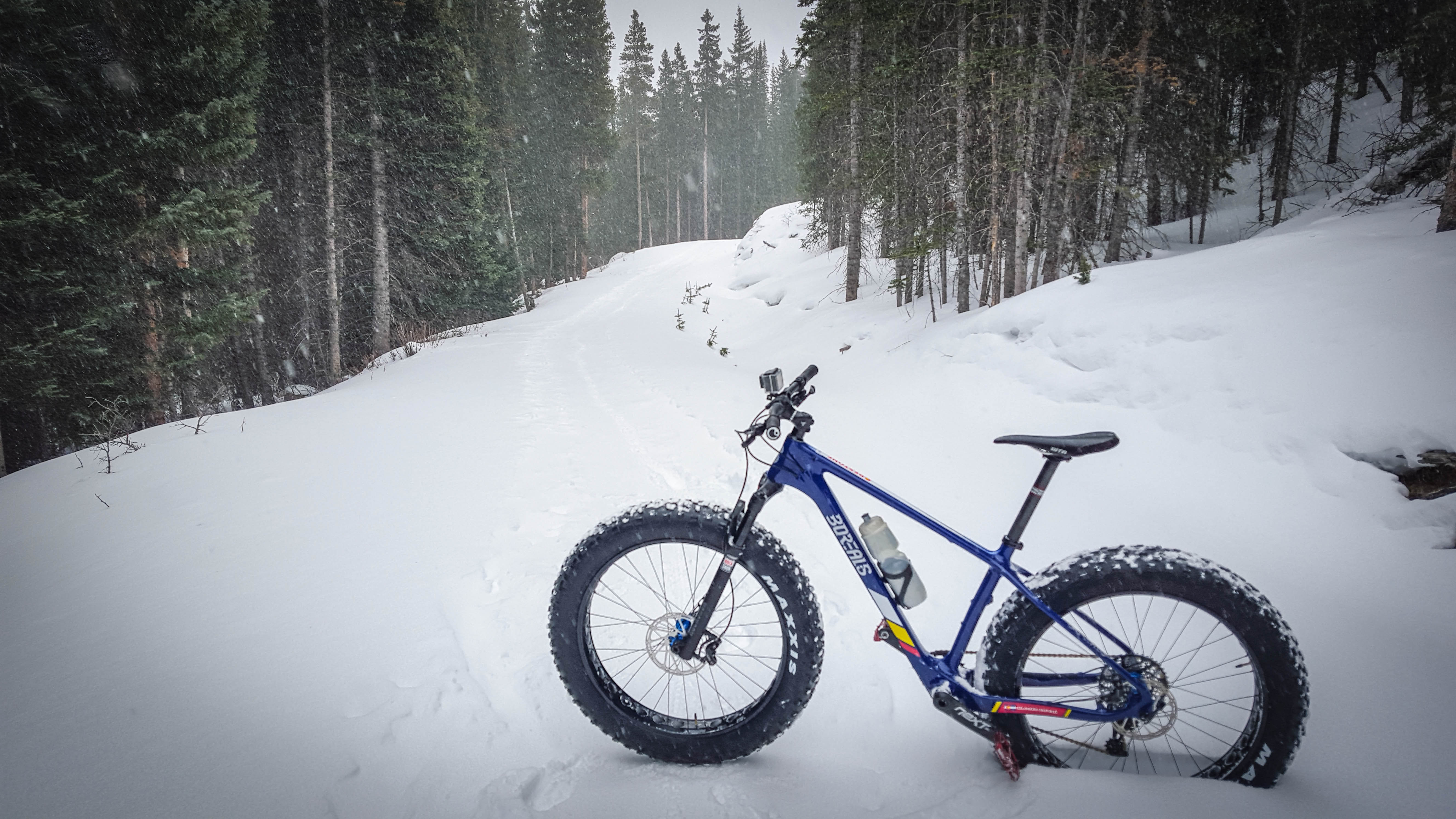
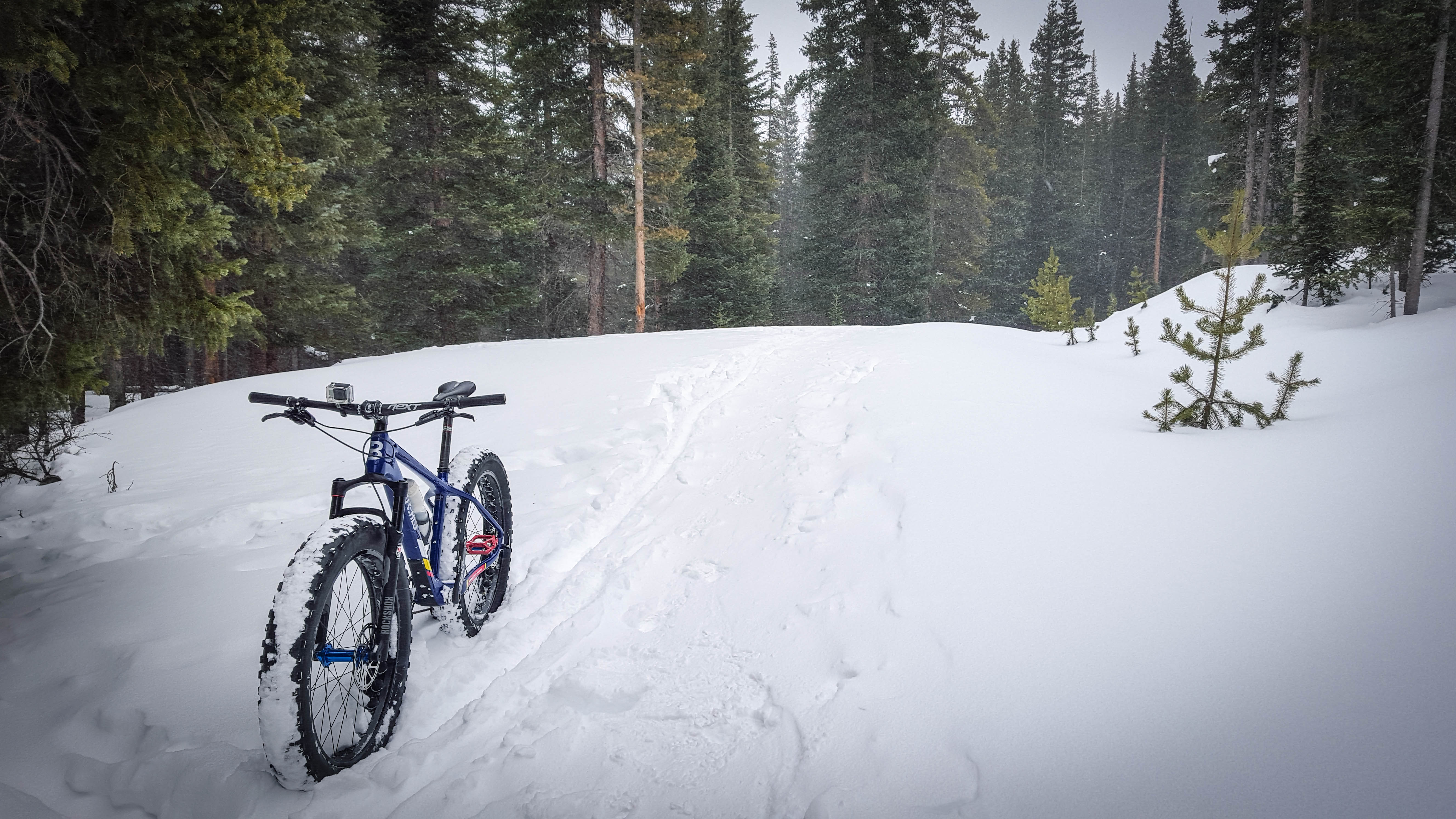
The path, like many in this area, starts out with a wide berth of packed snow from foot traffic, and then narrows the further you go. The altitude is perhaps the most challenging aspect of this ride, particularly when ample fresh powder is on the ground, which forces you to slowly grind uphill in looser conditions looking for the most packed line underneath.
The day I chose to ride this route, a storm was blowing in from the east. There was dark cloud cover, light winds with some blowing snow, and temps in the mid-teens. I was eager to hit the trail, hoping for some solitude and to hear the creek as I slowly climbed towards Loveland. To my dismay, Clear Creek was either frozen or buried under too many pillows of snow to hear, and the trucks travelling along I-70 constantly reminded me that I was a stone’s throw away from congested civilization.
The first mile was wide, flat, flanked by power lines, and quite frankly a little boring. After the first mile, however, the trail started to meander, the corridor narrowed, and the tree cover created more of a canopy. I did not see any other users on the trail that day, no tracks, and no wildlife, though I encountered several hikers and skiers in the lot before I set out. Except for the hum of traffic, which I often did tune out when grunting up the climb at a good pace, I felt pretty far away from everything.

My time was limited the day I rode this, but I was more limited by the variable and unpredictable packed layer under a couple inches of falling snow. As I rode, it became harder and harder to stay on the trail, and I kept falling over and post-holing to the knee. This resulted in me walking the bike a lot more than I hoped in the last 1/2 mile of my trip out. After about 3 miles, I decided that I had gained an appreciation of what I set out to do, and elected to turn around.
The descent was a bit of a surprise to me. What seemed like a very gentle climb turned into a wicked-fast descent. With a few quick pedal strokes, I was rolling pretty fast, trying fervently to stay on the narrow packed track I worked so hard to create on the way out. I had one nasty fall doing about 20mph while rounding a slight corner: my front tire went into the deeper stuff, and I went flying over the bars. Fortunately, I also landed in some deep stuff. Except for some rogue powder finding it’s way into my nether regions, it was a comfortable crash.
I quickly got up, dusted myself off, inspected the bike, and set out again with renewed determination to stay on the packed snow. Success was rewarded with even more speed, and a smile hit my face when I checked my data later and realized I had a max speed of 25.7 miles per hour. I probably kept that speed for quite a while; the trail was fast and smooth, and only got better as I approached the lot, since the packed portion improved.
My overall trip was 6 miles, with a moving time of 1:05, and I felt like I had a decent workout at 10k feet. I only took 24oz of water and probably only drank a third of that–one of the few bonuses of riding in the cold.
Unfortunately my review cannot speak for the Loveland side of this trail, but I hope to ride the entire trail again later this season when it is more packed. I would still recommend starting on the east (Bakersville) side of the trail, however, since you will be rewarded with the downhill portion on the way back to your vehicle as I was.
I have created a short video to give you an idea of what this trail looks like, in case you are interested:
How about you: Have you ridden this trail? If so, what did you think? Are there any other trails in the area that you would recommend to fellow fat bikers?