×

|
Rate it:
Tags:
Level: Beginner
Length: 4 mi (6.4 km)
Surface: Fire Road
Configuration: Out & Back
Elevation: -
Total: 5 riders
Mountain Biking Upper Santa Anita Canyon Road
#647 of 1,015 mountain bike trails in California
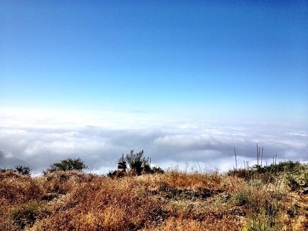
After it reaches the Chantry Flats trailhead, the upper Santa Anita Canyon Road is gated but open to mountain bikes. In fact, the road seems to be a much more popular mountain bike ride than the nearby singletrack. After passing the helipad, the pavement turns to gravel and climbs at a steady grade that isn't too steep. It's a good climb to just gear down and spin and enjoy the views as the trees open up! Once you reach the radio towers at the top, turn around and come down. About 4 miles one way.
First added by Greg Heil on Jul 6, 2012. Last updated Apr 28, 2020. → add an update
Before you go
- Drinking water: unknown
- Lift service: unknown
- Night riding: unknown
- Pump track: unknown
- Restrooms: unknown
- Fat bike grooming: unknown
- E-bikes allowed: unknown
- Fee required: unknown
This trail information is user-generated. Help improve this information by suggesting a correction.
See Chantry Flats


Pretty good for a gravel road ride!
| Thank