×

|
Rate it:
Tags:
Level:
Length: 20 mi (32.2 km)
Surface: Greenway
Configuration: Network
Elevation: -
Total: 2 riders
Mountain Biking Lampertheim Naturshutzgebeit
#42 of 151 mountain bike trails in Germany
The trails run along through an area which is a protected wetlands, a section of the Rhein which are floodplains. The place is basically a large 10-20 mile loop (depending on which trails you take) through drained farmlands, bogs, and floodplains. Most of the trails are nicely turfed farmtracks, but very well-worn singletracks abound.
First added by Bombardier on Aug 13, 2005. Last updated Apr 30, 2020. → add an update
Before you go
- Drinking water: unknown
- Lift service: unknown
- Night riding: unknown
- Pump track: unknown
- Restrooms: unknown
- Fat bike grooming: unknown
- E-bikes allowed: unknown
- Fee required: unknown
This trail information is user-generated. Help improve this information by suggesting a correction.
Take 44 from Mannheim towards Lampertheim, or the exit off of Autobahn 6 to the same, and head into Lampertheim. Turn left at the first light, and park at the Rhein river boatlaunch. The trails start there.

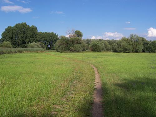

We've been to this area twice so far, and it's a very pleasant, easy ride, with many tranquil little areas, narrow quiet lanes, and blackberry thickets aplenty. There's nothing challenging here, just a good, relaxing place to stretch the legs and get some clean air.
| Thank