Juniper Ridge #261 trail photo
×
User
Today
 
  |   Rate it:

Tags:
Level: Advanced
Length: 10.6 mi (17 km)
Surface: Singletrack
Configuration: Out & Back
Elevation: +883/ -663 ft
Total: 9 riders
 

Mountain Biking Juniper Ridge #261

****   Add a review
#97 of 1,209 mountain bike trails in Washington
#5,411 in the world

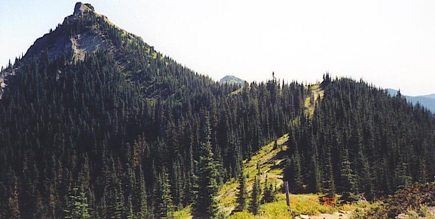
"DESCRIPTION: This description is from north to south. The trail starts out in a saddle and climbs through the forest for about 2 miles with limited views. Then it continues along the ridge still climbing where there are wonderful views. The trail follows the ridge line for 4.5 miles to the base of Sunrise Peak, then drops down to a meadow and pond, before climbing back to the ridge. The trail skirts Juniper Peak, Sunrise Peak and Jumbo Peak. The trail ends near Dark Meadows at Boundary Trail #1. Improvements are being planned. Check with Randle District for current information. Much of the trail along the open ridgetop takes you through an area that burned in 1902 and 1918, resulting in the beautiful meadows along the ridge today. This is a fun trail but with some more difficult sections. This trail was once used by sheepherders as a "stock driveway" from 1900 to the 1930s. Look for an old watering trough north of Jumbo Peak. This is a motorized trail but does not get a lot of use. It is part of the C to C Route."

First added by searsandrewj on Jan 1, 2003. Last updated Jul 15, 2020. → add an update
Before you go
  • Drinking water: unknown
  • Lift service: unknown
  • Night riding: yes
  • Pump track: unknown
  • Restrooms: unknown
  • Fat bike grooming: unknown
  • E-bikes allowed: unknown
  • Fee required: unknown
This trail information is user-generated. Help improve this information by suggesting a correction.
Getting there
Take FR # 25 south from Randle and in 1 mile keep to the left onto FR #23. Just over 8 miles from Randle turn right onto FR # 28. Cross the Cispus river past Yellow Jacket Ponds and turn left (actually go straight) onto FR # 29 which is signed to the Boundary Trail. Follow FR #29 road and turn left onto FR# 2904 and follow it to the trailhead.


Juniper Ridge #261 Trail map

Add to or improve this map // Share this map on your website

Local Info

Club Sponsor

-

Local Bike Shop

-

Trail checkins

Upcoming Events

None.
Add one

Trail conditions

(on Aug 21, 2015)
login to update

Camping & Lodging

Coming soon!

Juniper Ridge #261 videos

Add a video
We don't have any videos of this trail yet. Add one here.

Add a review

Rating
 
Difficulty
 
Review

Reviews

    Loading reviews...

Rider questions