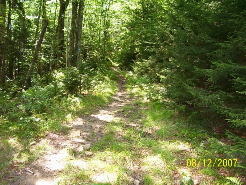
Gauley Mountain Trail is used mostly as a connector trail for Right Fork Connector, Red Run, Bear Pen and Tea Creek Connector Trails. It is 5 miles from Rt.150 to Mine Rd. making it 10 miles out and back. It is also used to design loops including those other trails or add mileage to my favorite Props Run shuttle ride. This trail appears to have once been an old railroad grade, however is mostly singletrack now. There are a couple places where it resembles a doubletrack however those are few. There are a couple fairly steep, very rocky spots, several big mudholes (hopefully to be re-routed soon), some tight narrow laurel choked spots but all in all a good trail for beginners to learn on. Once you feel comfortable with this trail, the others will not be so overwhelming. I started my children on this trail years ago. Believe me, they loved getting all muddy. My son and I now include this as a start point to our Props Run Ride at least once or twice yearly. It is also used in the Bear Pen Loop and Modified Loop ride. Note: the trails in this area are "Cross Country" trails and should not be misconstrued with smooth, sculpted singletrack like you find in many parks. It is usually slow going except in a few spots where you can let it go and fly, like on Bear Pen Ridge, Tea Creek Mountain, and a few other places. You can get some good speed on Gauley Mountain Trail on the way back from Mine Rd.


Hit this trail twice this weekend. First time was an out, and the second day an out and back. Was a little wet, and look forward to riding it dry. There is a technical mile about 1.2 miles in from the Mine Rd side of rock garden, not overly difficult but good to note. There's a rather even bit of elevation gain and loss and some areas that had great rhythem. Think of this as a rather flat props of you ride it out and back.
| ThankI did this ride in late August/08 as part of an mtb weekend excursion. We actually most of this trail in both directions. This trail was in pretty good shape, its wide enough but has lots of small rocks and roots to keep things interesting! In some sections, the track is narrowed to singletrack width! After an exhausting bike up Mine rd., we took this trail down to Scenic Route 150. The next time we rode up from route 150 to complete the Red Run Trail. This trail is great, but typically only an introduction to the types of terrain seen in the area.
| ThankJust used this trail three times during the week of June 16th to the 22nd 2008 and it was in great shape. Couple trees down, however they are ridable for the experianced. The trail is unusually dry for the area, still some water, but nothing like it usually is. Rode it all the way through on one of the rides to get to Props Run.
| Thank