The reason for the trail name: you use Gauley Mtn Trail, Bear Pen Trail, Boundary Trail and Bannock Shoals trail for this loop. And it's a tough 17 miles believe me. True back country riding, not manicured trails.
Leave Little Laurel overlook and ride east on 150 for about 1/4 mile and turn left onto Gauley Mountain Trail (well marked). Follow Gauley Mtn trail past Red Run and turn left onto Bear Pen Ridge Trail. Follow Bear Pen Ridge to it's end. When you come to an intersection at the bottom go past the straight past the fire ring someone built in the middle of the intersection. You should do a creek crossing (Tea Creek) and start up Boundary Trail. Do not take a right at the fire ring as that is Tea Creek Trail.
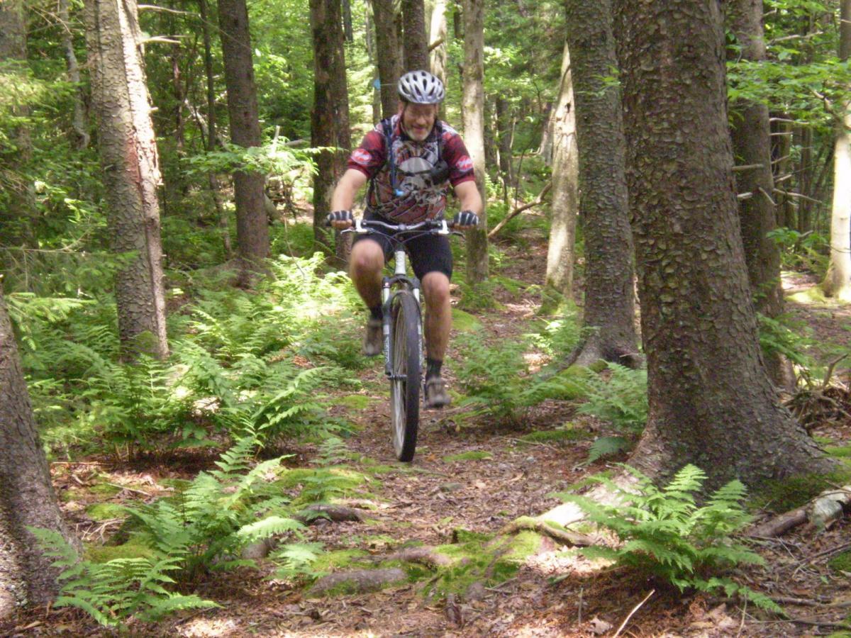
Stay on Boundary Trail for a few miles. You will do two more stream crossings on Boundary and then come to a hard to find intersection. If you go up a short very steep climb and into a tall grassy meadow (strip mine) you missed the turn by about 300 feet. See pictures of trail here so you will notice the intersection. You will go left up the hill into the pine forest. The climbing starts here all the way to the 4 way intersection of Boundary Trail, Turkey Point, Boundary toward FR135 and the overlook to your left. Stop there and walk about 50 yards to the left and check out the overlook.
When you are ready to left you will want to go out toward FR135 (signs posted). This is the remaining portion of Boundary Trail. There is an awesome Mountain Laurel tunnel like section and just after that there is a hike-a-bike down a very steep section through some house size boulders. Once through that you can ride the last 1/4 mile of Boundary Trail. When you come out at the intersection you will want to take a left (not a hard U turn left since that is Saddle Loop), just a left and ride down the grassy old Forest Service Rd./ Bannock Shoals Trail. This will dump you out in Tea Creek Campground at the gate. Just ride down the road through the campground to your vehicle. Bannock Shoals is approx. 5 miles downhill. Watch for obsticles in the grass and water bars. You can eat it fast at speed. There is a ridable creek crossing about 2/3 the way down. Enjoy.


UPDATE ! This is my favorite loop in the area, however please note that Bannock Shoals is very overgrown with briers and nettles and a leg bleeding experiance. We modified this loop the end of July 2010 and took Turkey Point trail from the overlook on Boundary. WOW ! is all I can say. There is a rock garden that rivals anything I've ever tried to ride and has some steep brake burning downhill (NOT FAST), just technical and steep. Loved it other than the fall in that nasty rock garden. The forest changes constantly and is beautiful and makes the swampy sections all worth it. Enjoy the scenery on your ride. This is not a fast trail. Slow, technical, some swampy area, but allows you to look around and enjoy the beauty.
| ThankHey ! ! ! I was able to get them to move the gps file to this trail. Thanks Jeff !
This is an awesome loop covering a wide variety of trail in the Gauley Mtn. area.
NOTE: These are not manicured trails like a park. These trails are true cross country and due to obsticles will be slow going. I just love it, hope you do to.
| Thank* Review edited 12/31/2009
Note: If you want the gps file for this loop please look under Bear Pen Modified Loop. I accidentally tagged it there and tried to get it corrected but someone didn't catch it. Sorry !
| ThankThe Bear Pen Modified Loop is a fun loop if you are looking for less miles. However if you have the shuttle and want a great ride this is awesome.