×

|
Rate it:
Tags:
Level:
Length: 10 mi (16.1 km)
Surface: Singletrack
Configuration: Out & Back
Elevation: -
Total: 6 riders
Mountain Biking Crandall Lake Trail
#92 of 224 mountain bike trails in Alberta
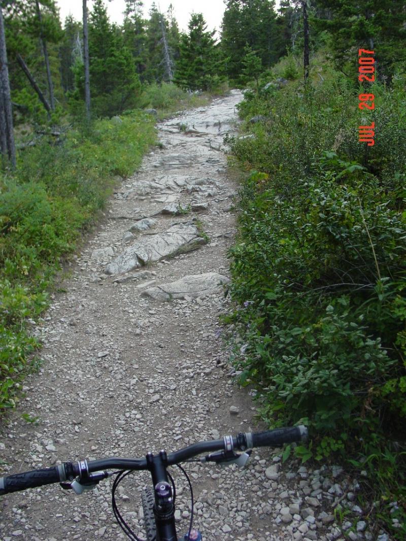
The first 4 miles is a stiff and relatively uninteresting climb that parallels the road. After this point, you reach the saddle and turn right for the descent towards Crandall Lake. Then the scenery gets fantastic and the trail gets real fun. Once you hit the road, turn around and return, enjoying all the technical spots on the climb. If you don\'t want to make the climb next to the road, drive to the upper trailhead and take the short, but steep climb to the saddle. You can also make a loop by using park roads, but they are all paved and heavily traveled.
First added by John Fisch on Oct 7, 2007. Last updated Apr 28, 2020. → add an update
Before you go
- Drinking water: unknown
- Lift service: unknown
- Night riding: unknown
- Pump track: unknown
- Restrooms: unknown
- Fat bike grooming: unknown
- E-bikes allowed: unknown
- Fee required: unknown
This trail information is user-generated. Help improve this information by suggesting a correction.
The trailhead starts at the northwestern edge of Waterton Townsite. Get any of the local maps and you will find it.