From the Parking area, the CDT is a quick singletrack across the highway to the Anderson Mountain Road. Ride this forest road for 5.4mi to Rd6111 and go left. You can ride another 3/4mi from here to the top of Anderson Mountain for a great viewpoint too.
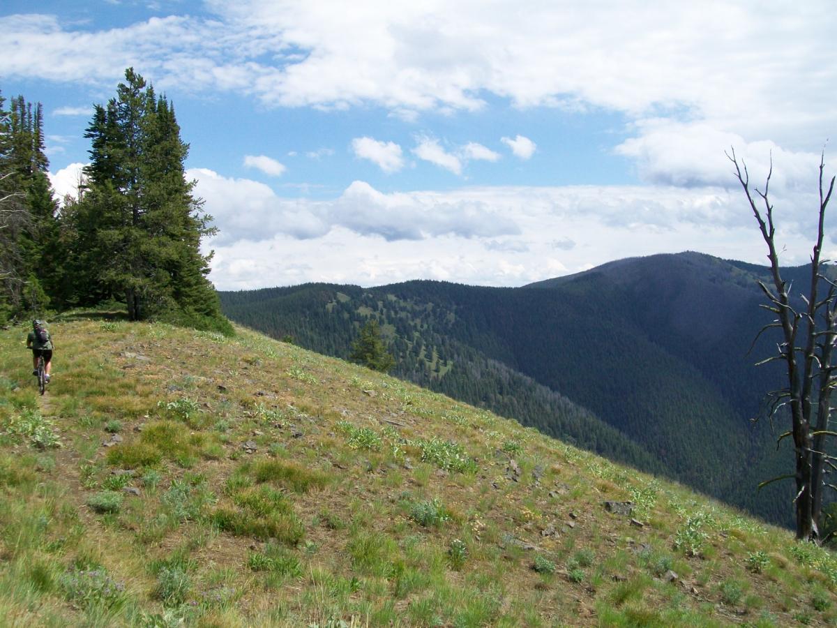
You will only be on Rd6111 briefly until the start of the CDT singletrack. The CDT stays very close to the divide and the singletrack is well defined.
There are two hikeabike sections. The second is through a section of forest burned in 2003. At the top of this section is a trail sign pointing to Nez Perce Camp, Nez Perce Ridge and Three Mile Ridge. Although Three Mile Ridge is now below you to the south, this sign is misplaced and the actual start of Three Mile Ridge Trail is another 3/10s along the CDT.
The Three Mile Ridge Trail leaves the CDT to the south then turns west. The singletrack proceeds west until you are on the head of Three Mile Ridge where the trail becomes a ATV track and descends over 3000' to Dahlonega Creek. Be ready to rest your braking hands!!
From Dahlonega Creek you are just a couple miles on a forest road back to your rig.

This is a great shuttle ride. Park one vehicle at Gibbonsville and the other at Chief Joseph Pass. Dinner at the Broken Arrow in Gibbonsville is a must after the ride. A great strong intermediate or advanced ride. Great views from the continental divide trail on the way out to the Three Mile Ridge Trail. Have good brake pads before you start this ride, they will get hot!
| Thank