


Singletracks Mountain Bike News, Reviews, MTB Trails and Community › Protected: Forums › Mountain Bike Forum › Saturday Ride at Pandapas Pond

-
AuthorPosts
-
-
October 9, 2010 at 08:28 #92707
Cross post here.
Finally got a chance to ride some of the trails at Pandapas Pond near Blacksburg, Virginia a couple of weeks ago. Most of my riding was on the Brushy Mountain side of the trail network.A 20 some mile trail system just west of Blacksburg on Rt 460. It is the local trail network of choice for Virginia Tech students, so it sees a lot of use.

A small lake is at the center of the trail system
My ride started on Horse Nettle trail ride out of the upper parking lot.
Horse Nettle is a mix of singletrack
Forest Service road
And mud puddled jeep trail
Horse Nettle is pretty much the Brushy Mountain access trail to give you access to Snake Root, Beauty, Jacobs Ladder and other singletrack off the mountain.I rode all the way out to Beauty, got lost on this mess
Backtracked and found the Beauty trailhead – easy to miss, no sign and it cuts back from the road
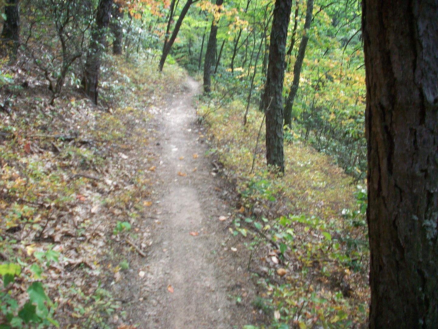
Beauty is cool
Starts with some of this
As you go down it becomes more of a fast contour type of trail
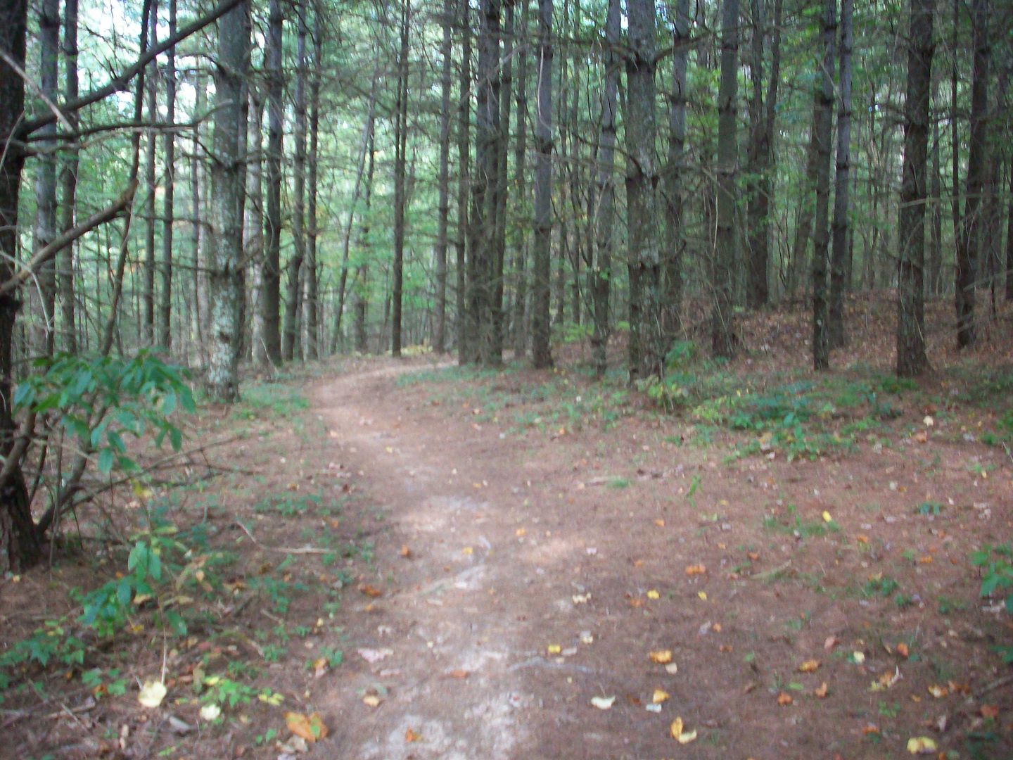
At the bottom it levels out in a pine stand
and comes out on Poverty Creek trail, the centerpiece trail of the whole trail system
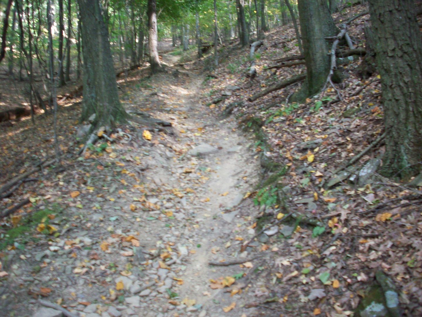
Then it was on to Jacobs Ladder
The bottom is a washed out rooty mess that was hike-a-bike for me, an old school trail
After you got past all the root drops, I was able to ride most of the trail
About ¼ mile from the top it got steep again and I was pushing for a little way
And then it levels out again before you get back to Horse Nettle
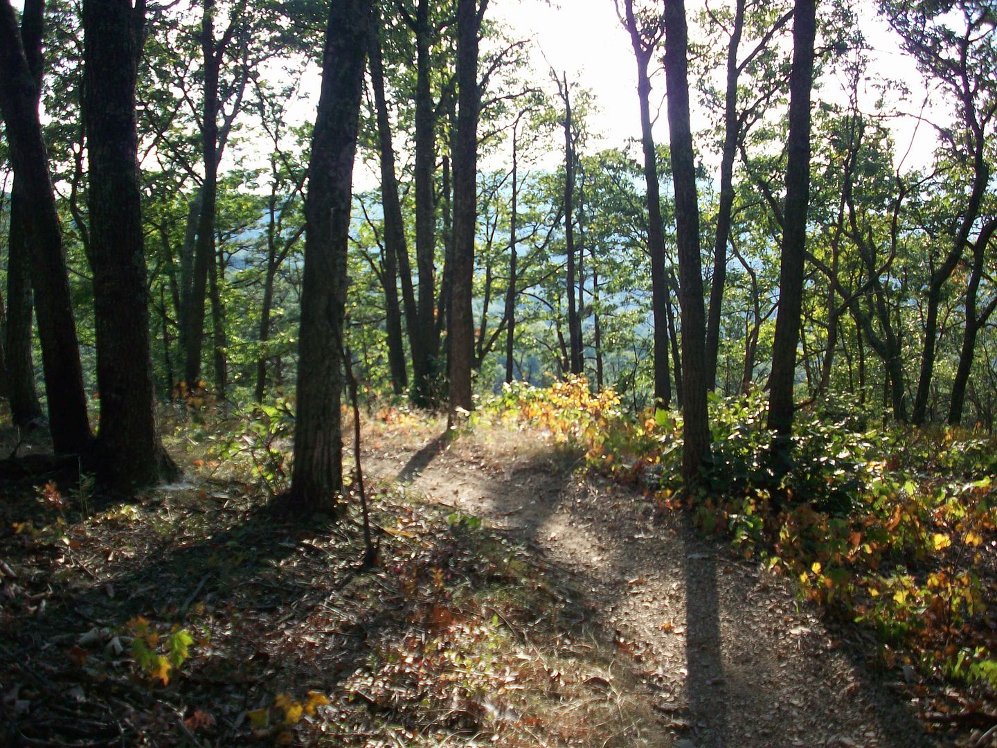
A brief ride on Horse Nettle, and I was at Snake Root; another fun downhill
Roped off for the hill climb that day
A fun, almost sandy trail
It contours around and hooks into an old logging road, with some cool berms scattered along the route. It is very fast all the way back to Poverty Creek
Back to the parking lot
A fun place to ride, somewhat like Carvins Cove. Definitely will get back over there sometime and explore some more of the trails. -
October 9, 2010 at 15:43 #92708
That looks like a sweet trail !!!!
-
October 11, 2010 at 09:49 #92709"96toy" wrote
That looks like a sweet trail !!!!
😀 Definitely a fun place to ride
This link has a good printable map if anyone is heading that way.
http://www.weaselworks.org/pandapas/ -
October 13, 2010 at 07:02 #92710
Thanks for the write up CCR. And thanks for the info you recently sent me on Douthat.
-
October 13, 2010 at 09:53 #92711"fleetwood" wrote
Thanks for the write up CCR. And thanks for the info you recently sent me on Douthat.
No problem. I’ve got to get back over to Douthat sometime soon.
-
October 20, 2010 at 06:47 #92712"CraigCreekRider" wrote
[quote="fleetwood":1yase4vi]Thanks for the write up CCR. And thanks for the info you recently sent me on Douthat.
No problem. I’ve got to get back over to Douthat sometime soon.[/quote:1yase4vi]
I was on a late night conference call for work last night, so I used the time wisely. I viewed some of your Douthat slideshows – Tuscarora (sp?), Blue Suck, and Brushy Mountain. I couldn’t help but notice how the trails seemed to be at a 45 degree angle in almost all the pictures. I guess there was something wrong with your camera. 😆 I’ve got a few more pic folders to go through though. Thanks for sharing.
-
-
AuthorPosts


You must be logged in to reply to this topic.