×

|
Rate it:
Tags:
Level:
Length: 1 mi (1.6 km)
Surface: Singletrack
Configuration: Other
Elevation: -
Total: 0 riders
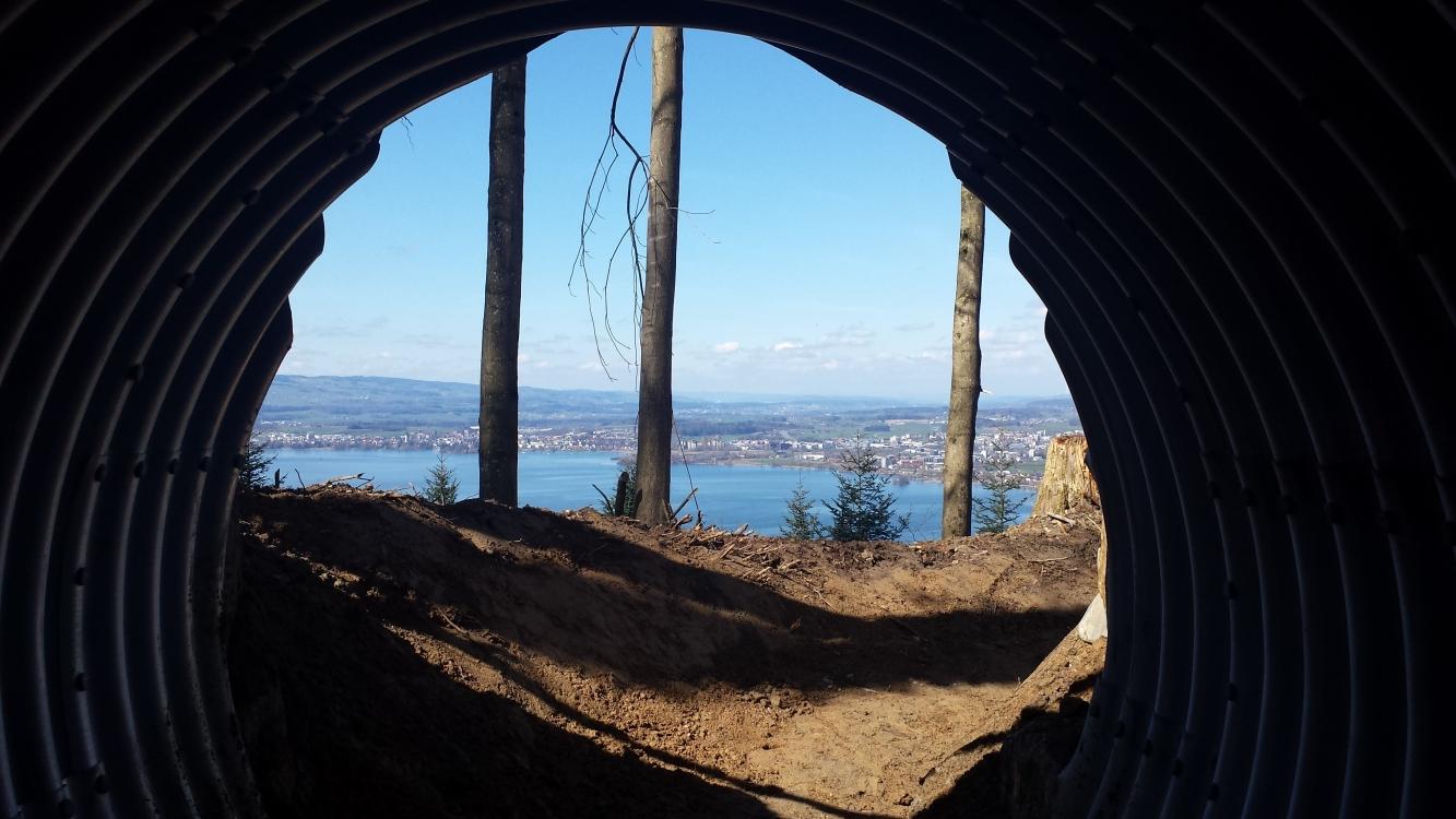
Mountain Biking ZugerbergTrail
#31 of 33 mountain bike trails in Switzerland
Length 2.1Km
Height 340m
Average gradient 16%
Difficulty: Moderate main track and difficult alternate track
Main trail design: Natural, flowing trail with banked corners (berms), rolling terrain and wooden features (bridges). Expert sections include drops, jumps and wallrides.
More info under: https://zugerbergtrail.ch/infotafel/
First added by StrikeVengeance on May 10, 2017. Last updated Apr 20, 2020. → add an update
Before you go
- Drinking water: unknown
- Lift service: unknown
- Night riding: unknown
- Pump track: unknown
- Restrooms: yes
- Fat bike grooming: unknown
- E-bikes allowed: unknown
- Fee required: unknown
This trail information is user-generated. Help improve this information by suggesting a correction.
Trail starts from the top of the Zugerberg cable car line


Loading reviews...View more