×

|
Rate it:
Tags:
Level: Beginner
Length: 16 mi (25.7 km)
Surface: 4x4 Trail
Configuration: Out & Back
Elevation: +209/ -216 ft
Total: 3 riders
Mountain Biking Whitestone River
#269 of 387 mountain bike trails in New Zealand
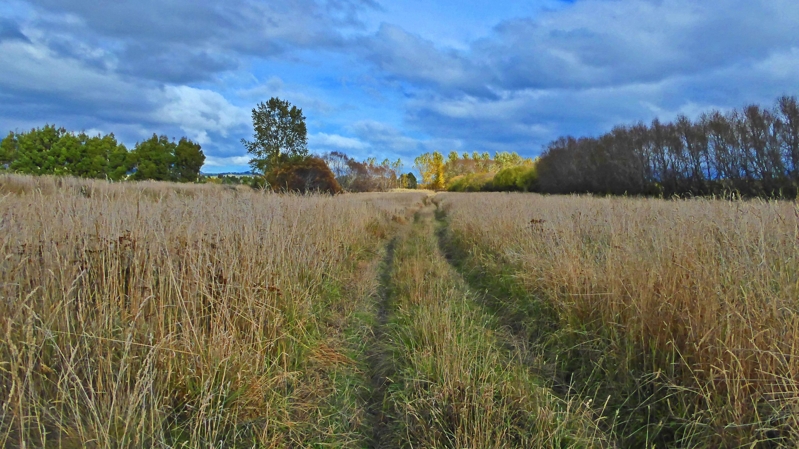
If ever you're in Te Anau in need of an easy spin, the Whitestone River Track may be just what you're looking for. It's part good back country road, part grassy 4wd track with some ruts and part gravel 4wd track. It goes down alongside Whitestone River for 10km. When you reach the end you can come back the same way or take the parallel roads. When you get back to the bridge you'll find the track going upriver about 400m along the road towards Te Anau. It follows the river for a few kilometers when you can turn back to the bridge for a ride of about 25km all up.
First added by Jim Cummings on May 2, 2017. Last updated Apr 20, 2020. → add an update
Before you go
- Drinking water: unknown
- Lift service: unknown
- Night riding: unknown
- Pump track: unknown
- Restrooms: unknown
- Fat bike grooming: unknown
- E-bikes allowed: unknown
- Fee required: unknown
This trail information is user-generated. Help improve this information by suggesting a correction.
Head out of Te Anau towards Queenstown on highway 95. You'll come to the Whitestone River bridge after 8km. Cross it and you'll see a large grass area on the right you can park in.


Loading reviews...View more