×

|
Rate it:
Tags:
Level: Intermediate
Length: 9 mi (14.5 km)
Surface: Other
Configuration: Network
Elevation: +662/ -662 ft
Total: 144 riders
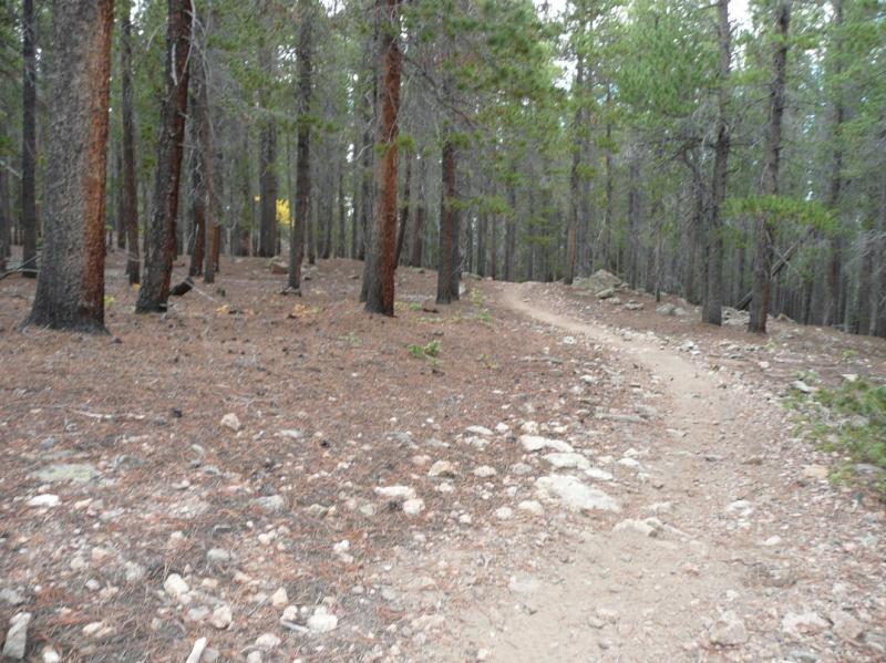
Mountain Biking West Magnolia
#251 of 1,368 mountain bike trails in Colorado
Take a compass or GPS, as this is a substantial trail network. There is forested single track, double track and a smattering of access roads. Grunt climbs, fast, twisty downhills, both technical and not, it's all here. Most of the trail is in the trees, with great results when the Aspens turn.
First added by Rob on Sep 27, 2006. Last updated May 11, 2020. → add an update
Before you go
- Drinking water: unknown
- Lift service: unknown
- Night riding: unknown
- Pump track: unknown
- Restrooms: unknown
- Fat bike grooming: unknown
- E-bikes allowed: unknown
- Fee required: unknown
This trail information is user-generated. Help improve this information by suggesting a correction.
From Nederland, take 119 South for about 1 mile. On the West side, across from Magnolia (County Hwy 132) is the trailhead.


Loading reviews...View more