


The Wauponsee Glacial Trail is a 22.29-mile paved/crushed limestone linear trail consisting of two segments.
The northern segment of the trail travels 2.8 miles from Sugar Creek Preserve north to Rowell Avenue in Joliet. This flat, paved segment of the trail travels through woodland, prairie and wetland. It is ideal for the following activities:
•Biking
•Hiking/Running
•In-Line Skating
•Cross-Country Skiing
•Snowshoeing
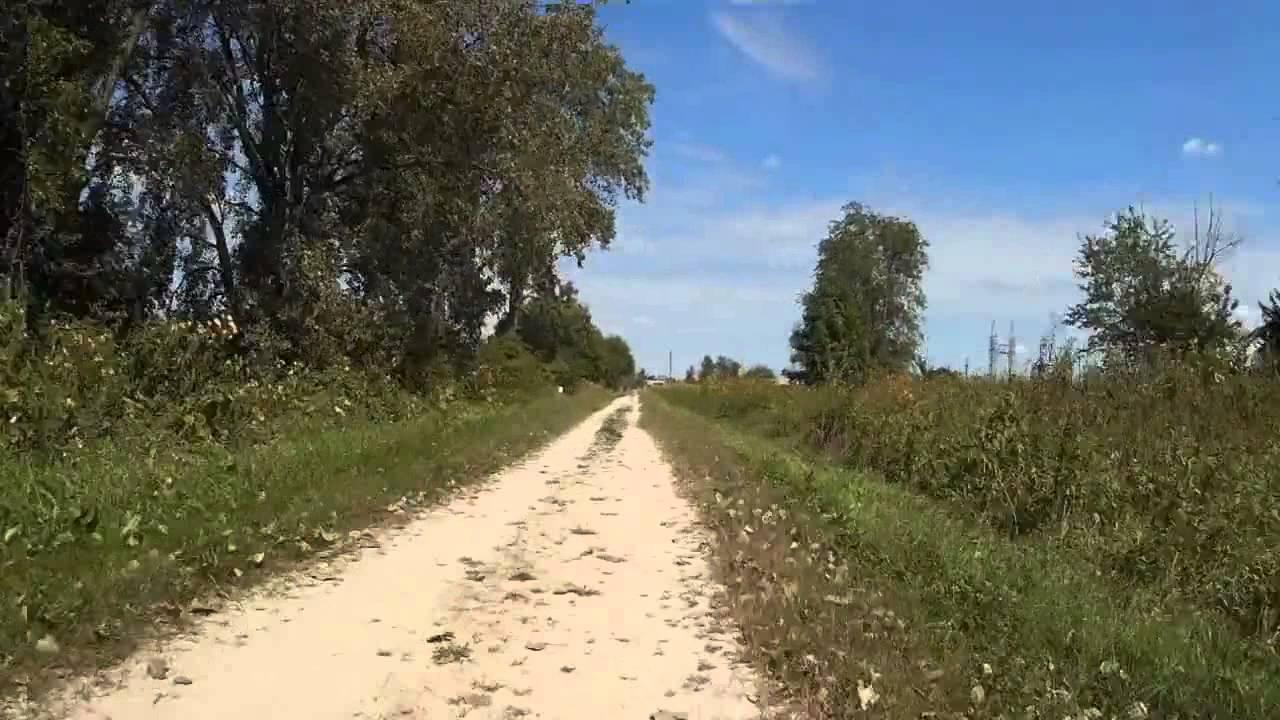
The southern segment of the trail extends an additional 19.49 miles from Sugar Creek Preserve south to the Kankakee River. This flat, crushed limestone segment of the trail travels through prairie. It is ideal for the following activities:
•Biking
•Bison Viewing
•Horseback Riding (trailer parking available at Sugar Creek Preserve and Forked Creek Preserve - Ballou Road Access)
•Hiking/Running
•Cross-Country Skiing
•Snowshoeing
Trail Connections
I&M Canal Trail: Street routes in Joliet connect the north end of the Wauponsee Glacial Trail to the 7.55-mile, linear crushed limestone/paved I&M Canal Trail.
I&M Canal State Trail: Street routes in Joliet connect the north end of the Wauponsee Glacial Trail to the Illinois Department of Natural Resources' 61.5-mile, linear crushed limestone I&M Canal State Trail.
Midewin National Tallgrass Prairie Trails: South of Manhattan, the Wauponsee Glacial Trail connects to the Midewin National Tallgrass Prairie trail system owned by the U.S. Forest Service.
Old Plank Road Trail: Street routes in Joliet connect the north end of the Wauponsee Glacial Trail to the 21-mile, paved linear Old Plank Road Trail.

Loading reviews...View more