×

|
Rate it:
Tags:
Level:
Length: 11 mi (17.7 km)
Surface: Singletrack
Configuration: Loop
Elevation: +256/ -251 ft
Total: 1 riders
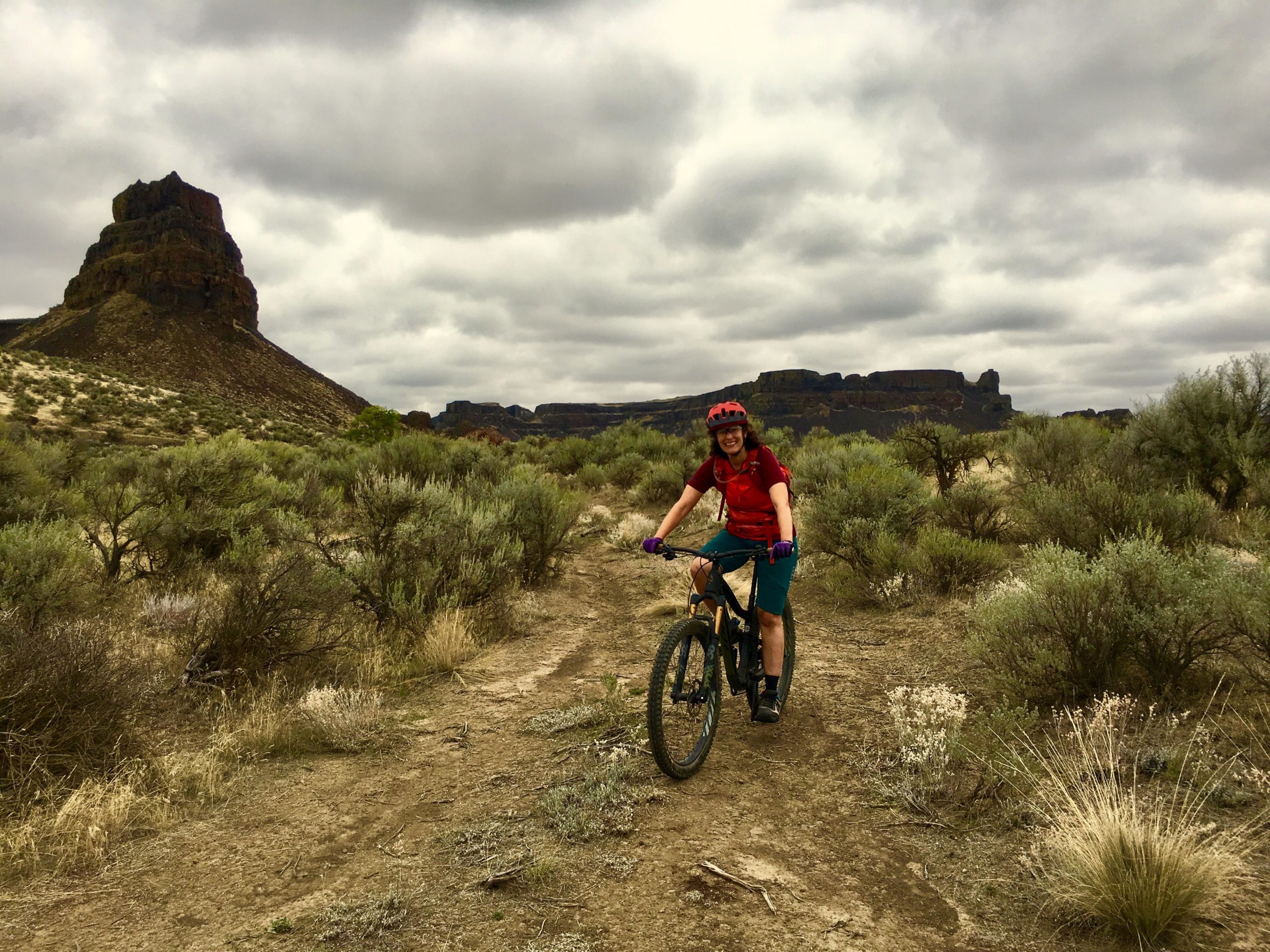
Mountain Biking Umatilla Trail
#290 of 1,209 mountain bike trails in Washington
The trail winds through basalt fields and around a large basalt formation.
First added by William V. Ganis on Sep 16, 2019. Last updated May 21, 2020. → add an update
Before you go
- Drinking water: unknown
- Lift service: unknown
- Night riding: unknown
- Pump track: unknown
- Restrooms: unknown
- Fat bike grooming: unknown
- E-bikes allowed: unknown
- Fee required: unknown
This trail information is user-generated. Help improve this information by suggesting a correction.
Take access road from campground entrance or follow Boyscout Ttail.


Loading reviews...View more