×

|
Rate it:
Tags:
Level: Intermediate
Length: 2 mi (3.2 km)
Surface: Other
Configuration: Network
Elevation: -
Total: 5 riders
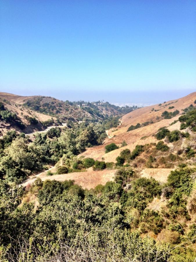
Mountain Biking Turnbull Canyon Trail
#593 of 1,005 mountain bike trails in California
The lower half of Turnbull Canyon is part of the main climb up to the top of the ridge, and the Sumac Trail completes that climb. Where Turnbull diverges from the main thoroughfare to the top it starts to get progressively narrower, turning into a singletrack by the time it intersects with the paved road at the top. A rocking descent going the other direction!
First added by Greg Heil on Jul 9, 2012. Last updated Apr 28, 2020. → add an update
Before you go
- Drinking water: unknown
- Lift service: unknown
- Night riding: unknown
- Pump track: unknown
- Restrooms: unknown
- Fat bike grooming: unknown
- E-bikes allowed: unknown
- Fee required: unknown
This trail information is user-generated. Help improve this information by suggesting a correction.
Begins right at the trailhead


Loading reviews...View more