×

|
Rate it:
Tags:
Level: Intermediate
Length: 13 mi (20.9 km)
Surface: Singletrack
Configuration: Loop
Elevation: +245/ -330 ft
Total: 25 riders
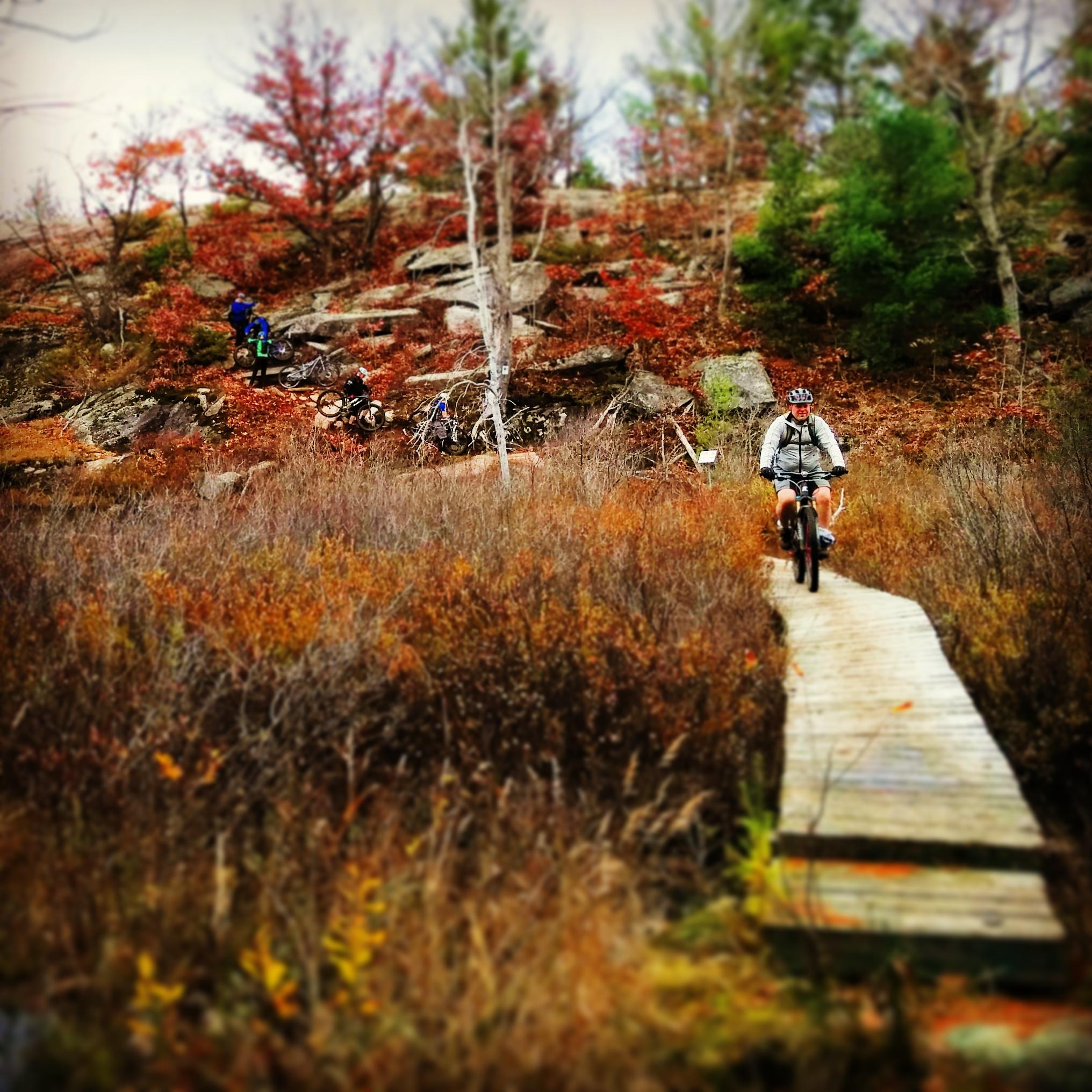
Mountain Biking Torrance Barrens
#32 of 312 mountain bike trails in Ontario
An easy to intermediate ride through beautiful Muskoka wilderness. Loads of slick granite to ride and a little bit of climbing up to the ridge line.
First added by olimoo on Oct 6, 2014. Last updated Apr 28, 2020. → add an update
Before you go
- Drinking water: unknown
- Drinking water: unknown
- Lift service: unknown
- Lift service: unknown
- Night riding: unknown
- Night riding: unknown
- Pump track: unknown
- Pump track: unknown
- Restrooms: unknown
- Restrooms: unknown
- Fat bike grooming: unknown
- Fat bike grooming: unknown
- E-bikes allowed: unknown
- E-bikes allowed: unknown
- Fee required: unknown
- Fee required: unknown
This trail information is user-generated. Help improve this information by suggesting a correction.
Take Muskoka Road 169
north from Gravenhurst or south from Bala.
Turn south on Southwood Road (Muskoka
Road 13) and travel 7 kilometres to the
Torrance Barrens sign. Park on the flat rock.
The trail is marked with stone cairns, white
marks on rocks and metal signs.


Loading reviews...View more