×

|
Rate it:
Tags:
Level: Easiest
Length: 27 mi (43.5 km)
Surface: Doubletrack
Configuration: Loop
Elevation: +202/ -85 ft
Total: 35 riders
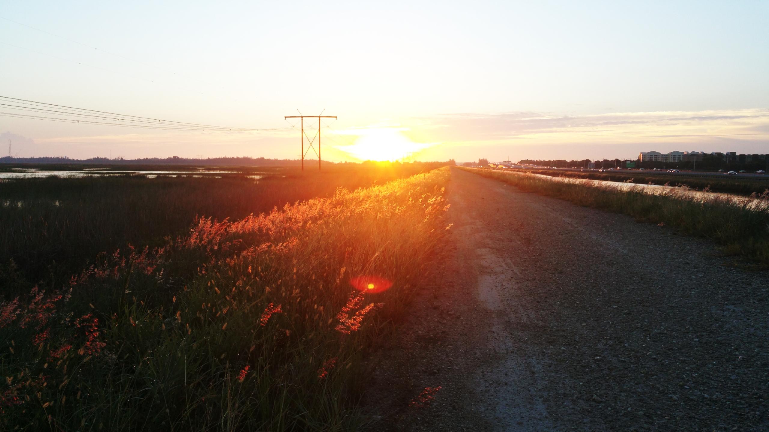
Mountain Biking The Levee
#102 of 289 mountain bike trails in Florida
Crushed rock, gravel road for government vehicles to access the Everglades National Park
First added by johngataride on Feb 25, 2015. Last updated May 3, 2020. → add an update
Before you go
- Drinking water: unknown
- Lift service: unknown
- Night riding: yes
- Pump track: unknown
- Restrooms: unknown
- Fat bike grooming: unknown
- E-bikes allowed: unknown
- Fee required: unknown
This trail information is user-generated. Help improve this information by suggesting a correction.
Start at Markham Park entrance outside the gate. Ride west 1/4 mile. Second entrance point is at Loxahatchee. Another official entrance is currently being constructed at Atlantic and Sawgrass Expressway along with a parking lot to be finished August 2016.


Loading reviews...View more