×

|
Rate it:
Tags:
Level: Intermediate
Length: 13 mi (20.9 km)
Surface: Singletrack
Configuration: Network
Elevation: +461/ -243 ft
Total: 1 riders
Mountain Biking St Willams Conservation Reserve
#179 of 312 mountain bike trails in Ontario
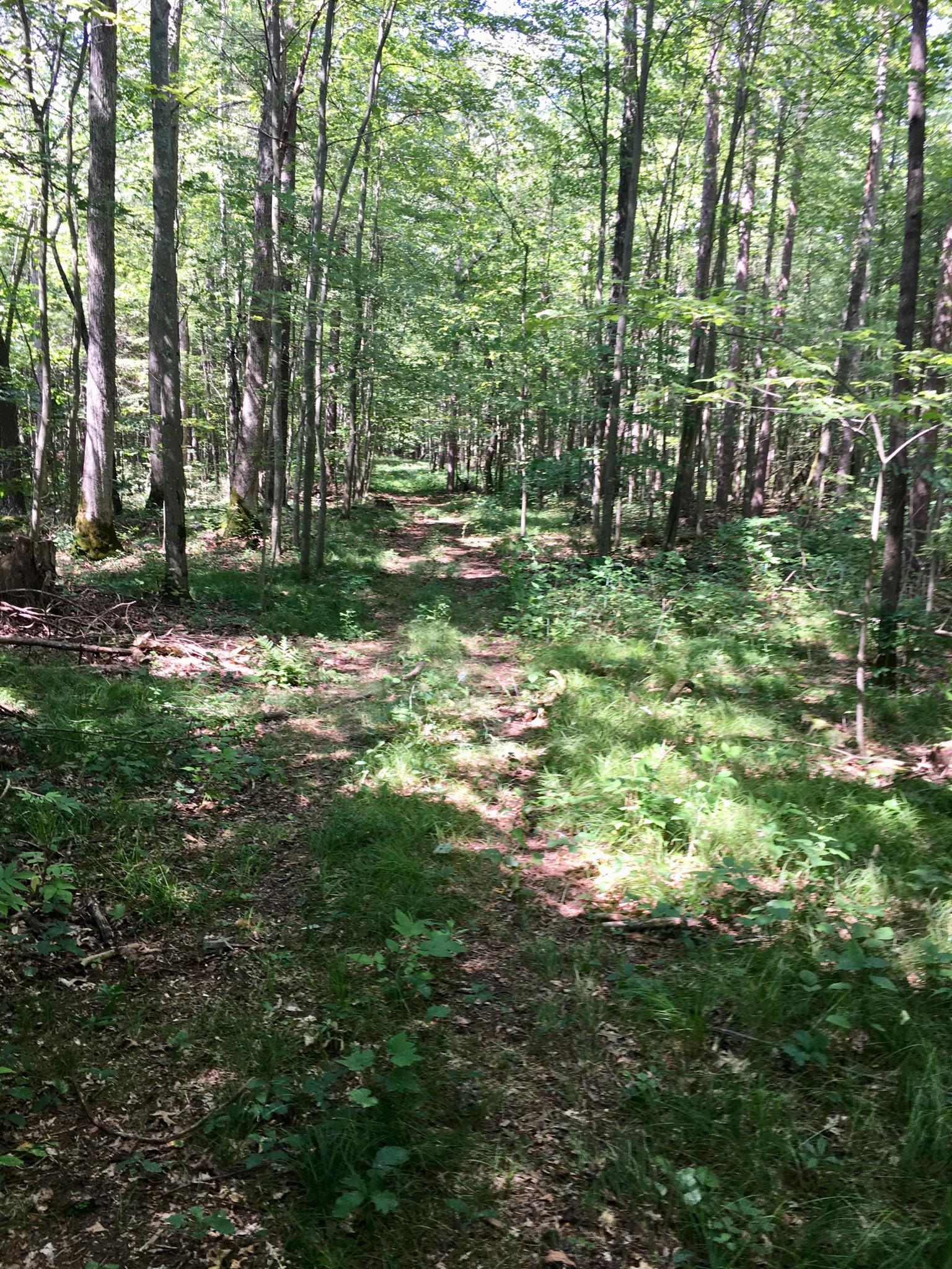
Large forested area with divisions for equestrian, multi use or pedestrian .
Consists of sandy fire roads with intertwined single track cut in by moto cross riders . Minimal elevation change through area . More traversable using a fat bike due to deep sand and torn up single track dirt
First added by Paul Loeffelholz on Jul 3, 2018. Last updated Apr 17, 2020. → add an update
Before you go
- Drinking water: unknown
- Lift service: unknown
- Night riding: unknown
- Pump track: unknown
- Restrooms: unknown
- Fat bike grooming: unknown
- E-bikes allowed: unknown
- Fee required: unknown
This trail information is user-generated. Help improve this information by suggesting a correction.
Highway 24 and quarter line road
Or sandy consession 6


Loading reviews...View more