×

|
Rate it:
Tags:
Level: Intermediate
Length: 27 mi (43.5 km)
Surface: Singletrack
Configuration: Loop
Elevation: +1,093/ -1,111 ft
Total: 12 riders
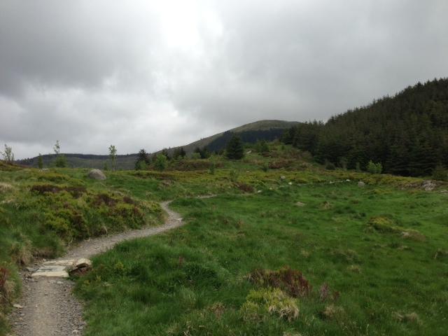
Mountain Biking Rostrevor
#1 of 2 mountain bike trails in Northern Ireland
A sensational trail system with rewarding views of the bay, well-maintained trails and variety. A 27km outer red loop, a 19km inner black loop that overlaps with much of the red, and two downhill trails.
First added by Jeff Collier on Jun 4, 2013. Last updated Apr 28, 2020. → add an update
Before you go
- Drinking water: unknown
- Lift service: unknown
- Night riding: unknown
- Pump track: unknown
- Restrooms: unknown
- Fat bike grooming: unknown
- E-bikes allowed: unknown
- Fee required: unknown
This trail information is user-generated. Help improve this information by suggesting a correction.
Located approximately 46 miles from Belfast, 75 miles from Dublin, the Rostrevor Mountain Bike Trails can be found on the Shore Road between Rostrevor and Kilkeel. The trailhead is only half a mile outside Rostrevor village; signposted Rostrevor Forest/Kilbroney Park.


Loading reviews...View more