×

|
Rate it:
Tags:
Level: Intermediate
Length: 1 mi (1.6 km)
Surface: 4x4 Trail
Configuration: Out & Back
Elevation: +644/ -615 ft
Total: 3 riders
Mountain Biking Road #201.C
#827 of 1,368 mountain bike trails in Colorado
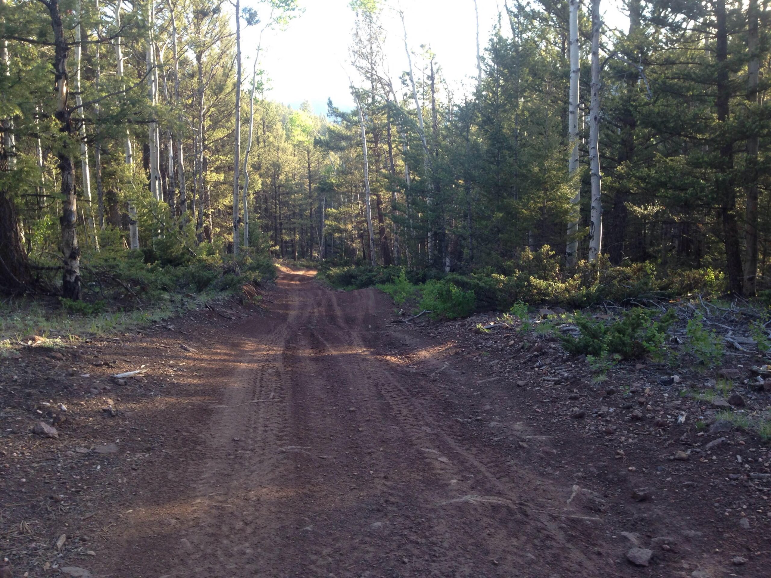
Road #201.C is a .9-mile 4x4 road that is a steep connector between Otto Mears Toll Road and the Rainbow Trail. If you continue past the Rainbow Trail it connects to a network of motorized trails near Poncha Pass.
However, this portion of road is best used to form a loop with the first section of the Rainbow Trail, if you want to do an 11-mile loop instead of an 18-mile loop.
First added by Greg Heil on Jun 17, 2015. Last updated Apr 24, 2020. → add an update
Before you go
- Drinking water: unknown
- Lift service: unknown
- Night riding: yes
- Pump track: unknown
- Restrooms: unknown
- Fat bike grooming: yes
- E-bikes allowed: unknown
- Fee required: unknown
This trail information is user-generated. Help improve this information by suggesting a correction.
CO


Loading reviews...View more