×

|
Rate it:
Tags:
Level: Beginner
Length: 14 mi (22.5 km)
Surface: Other
Configuration: Network
Elevation: +300/ -294 ft
Total: 29 riders
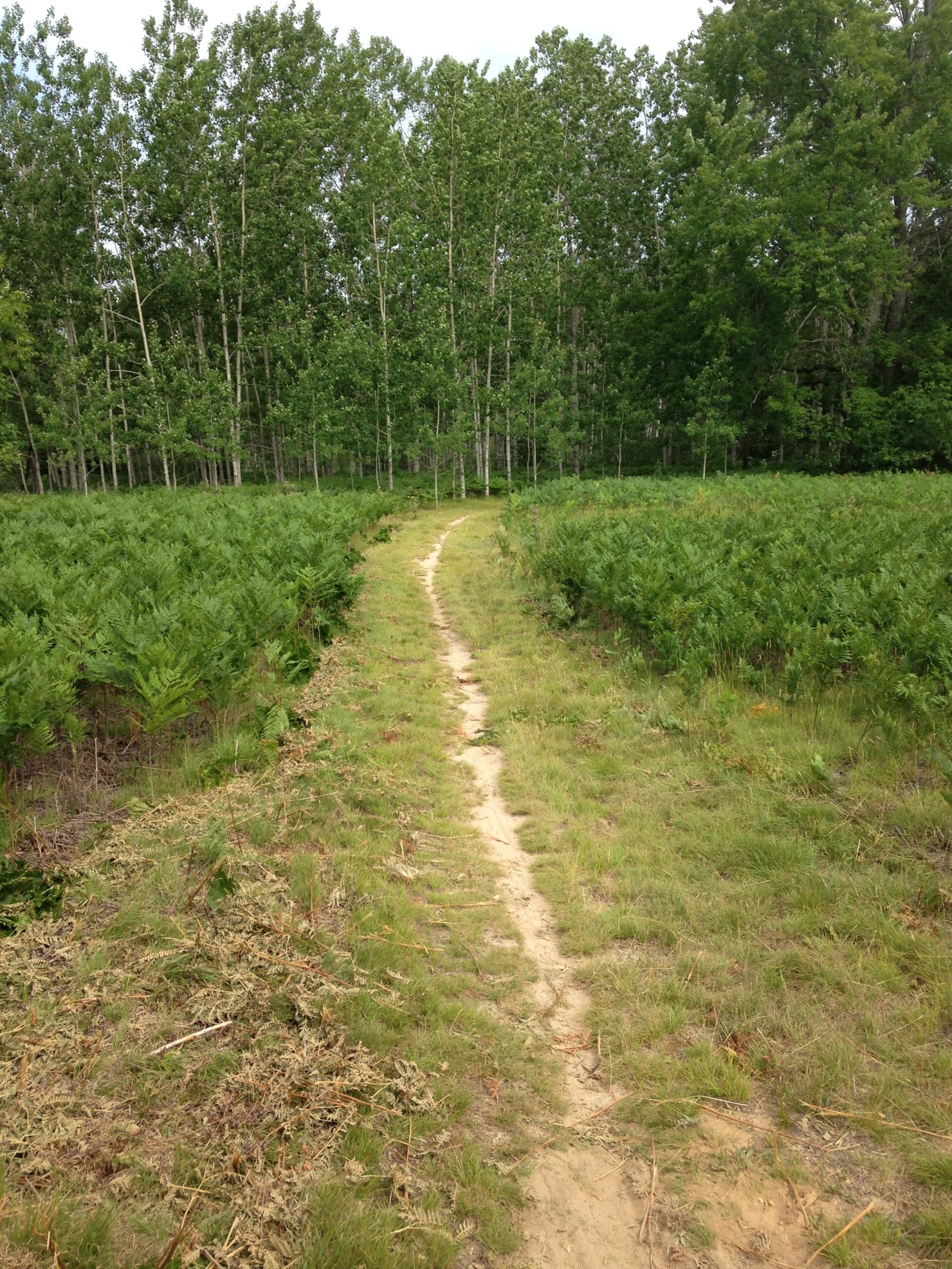
Mountain Biking Rifle River Recreation Area
#70 of 319 mountain bike trails in Michigan
This is a rather large network of trails in a DNR park. There are several loops and some dead end trails. Nodes 1-8 provide some technical challenge and some long climbs and downhills. In addition there are some great campgrounds, lakes and fishing streams here. Please visit http://www.michigandnr.com/parksandtrails/Details.aspx?id=489&type=SPRK for more information.
First added by j35u5fr34k on Jul 13, 2008. Last updated May 10, 2020. → add an update
Before you go
- Drinking water: unknown
- Lift service: unknown
- Night riding: unknown
- Pump track: unknown
- Restrooms: unknown
- Fat bike grooming: unknown
- E-bikes allowed: unknown
- Fee required: unknown
This trail information is user-generated. Help improve this information by suggesting a correction.
From Tawas City go west on M-55 until you hit the light at M-33 and go north to the light in Rose City. Go east on E. Main Rd (F-28). in Rose City at the light about ten miles and the Rifle River Recreation Area is on the south side of the road.
Rifle River Recreation Area
2550 E Rose City
Lupton, Michigan 48635


Loading reviews...View more