×

|
Rate it:
Tags:
Level: Beginner
Length: 7 mi (11.3 km)
Surface: Fire Road
Configuration: Network
Elevation: +240/ -468 ft
Total: 20 riders
Mountain Biking Pryor Creek Nature Trail
#30 of 63 mountain bike trails in Oklahoma
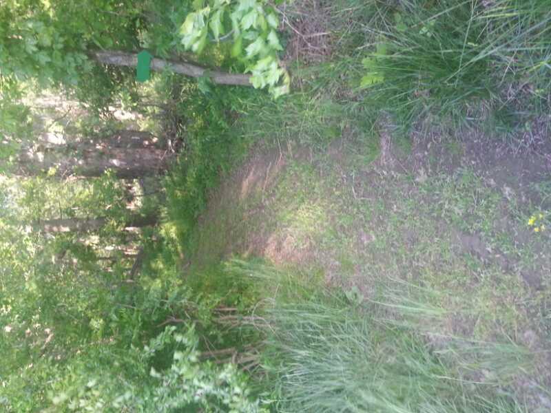
its an alright trail with 1 main trail and three that splenter off. there are some more advanced turns but at a moderate speed you can make it through.there are also some small jumps on one of the splinters.
they may be getting ready to enlarge the trail, but the city hasnt got permisson to yet. if you need details contact me at [email protected]
First added by searsandrewj on Dec 12, 2003. Last updated May 1, 2020. → add an update
Before you go
- Drinking water: unknown
- Lift service: unknown
- Night riding: unknown
- Pump track: unknown
- Restrooms: unknown
- Fat bike grooming: unknown
- E-bikes allowed: unknown
- Fee required: unknown
This trail information is user-generated. Help improve this information by suggesting a correction.
go north on eliott for 2 and 3/4 miles and youll see a small sign. thats the place.


Loading reviews...View more