×

|
Rate it:
Tags:
Level:
Length: 6 mi (9.7 km)
Surface: Doubletrack
Configuration: Network
Elevation: +352/ -385 ft
Total: 24 riders
Mountain Biking Prescott Peavine National Recreation Trail
#264 of 410 mountain bike trails in Arizona
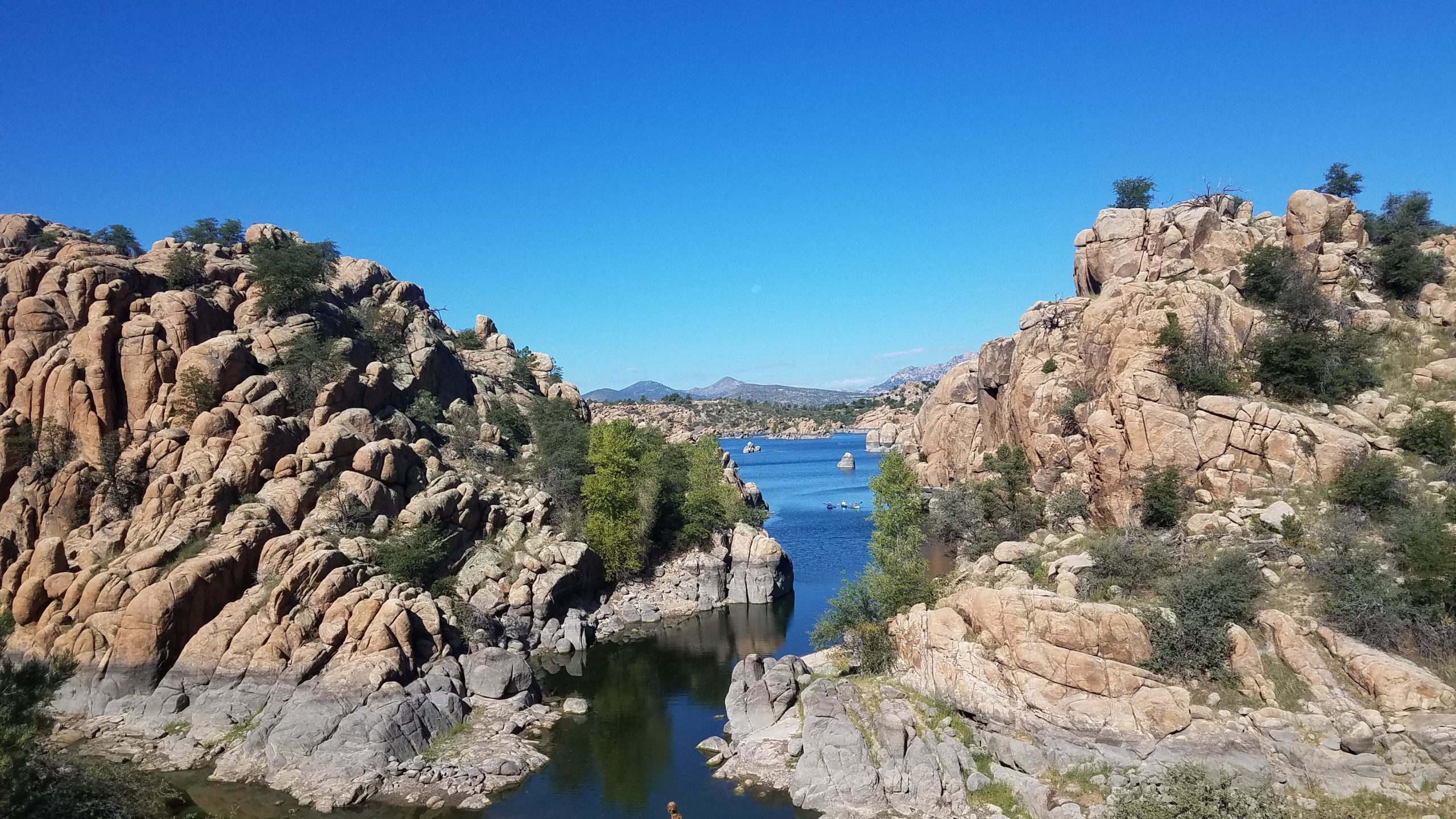
Rails to trails. Scenic views.
First added by TrailAPI on May 20, 2014. Last updated Apr 28, 2020. → add an update
Before you go
- Drinking water: unknown
- Lift service: unknown
- Night riding: unknown
- Pump track: unknown
- Restrooms: unknown
- Fat bike grooming: unknown
- E-bikes allowed: unknown
- Fee required: unknown
This trail information is user-generated. Help improve this information by suggesting a correction.
Take Hwy 89 to Prescott Lakes Parkway, then to Sundog Ranch Road. Shown on the NE Prescott Trails Map.Parking at the Peavine Trailhead off Prescott Lakes Parkway


Loading reviews...View more