×

|
Rate it:
Tags:
Level: Beginner
Length: 7 mi (11.3 km)
Surface: Singletrack
Configuration: Network
Elevation: +104/ -897 ft
Total: 13 riders
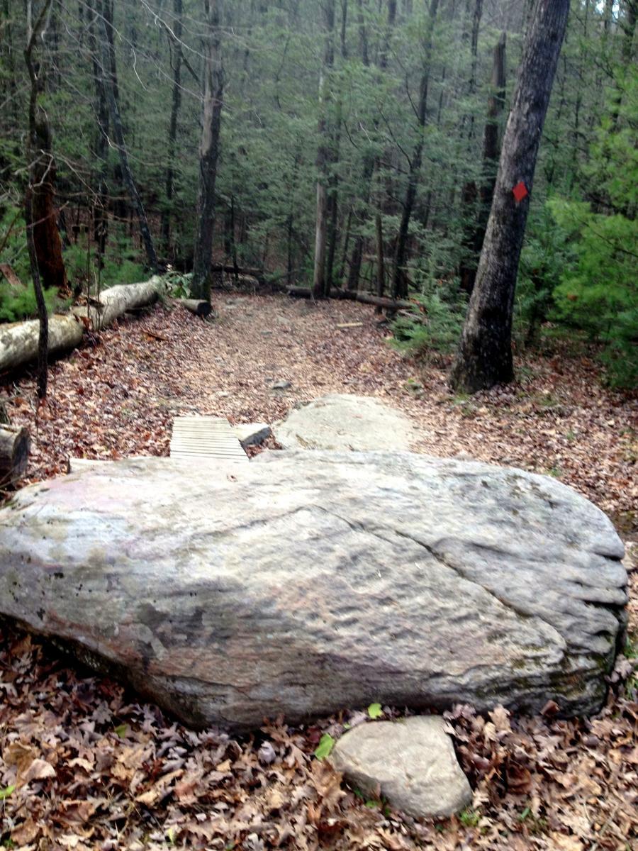
Mountain Biking Poverty Creek
#134 of 300 mountain bike trails in Virginia
The namesake for the entire trail system, the Poverty Creek trail runs through the center of the network, roughly following the creek by the same name. This is a flowing, rolling trail that is definitely beginner friendly but still is a fun ride for an advanced rider.
First added by Greg Heil on Nov 28, 2012. Last updated May 6, 2020. → add an update
Before you go
- Drinking water: unknown
- Lift service: unknown
- Night riding: unknown
- Pump track: unknown
- Restrooms: unknown
- Fat bike grooming: unknown
- E-bikes allowed: unknown
- Fee required: unknown
This trail information is user-generated. Help improve this information by suggesting a correction.
Part of the Pandapas Pond / Poverty Creek Trail System.


Loading reviews...View more