×

|
Rate it:
Tags:
Level:
Length: 5 mi (8 km)
Surface: Singletrack
Configuration: Loop
Elevation: +151/ -154 ft
Total: 6 riders
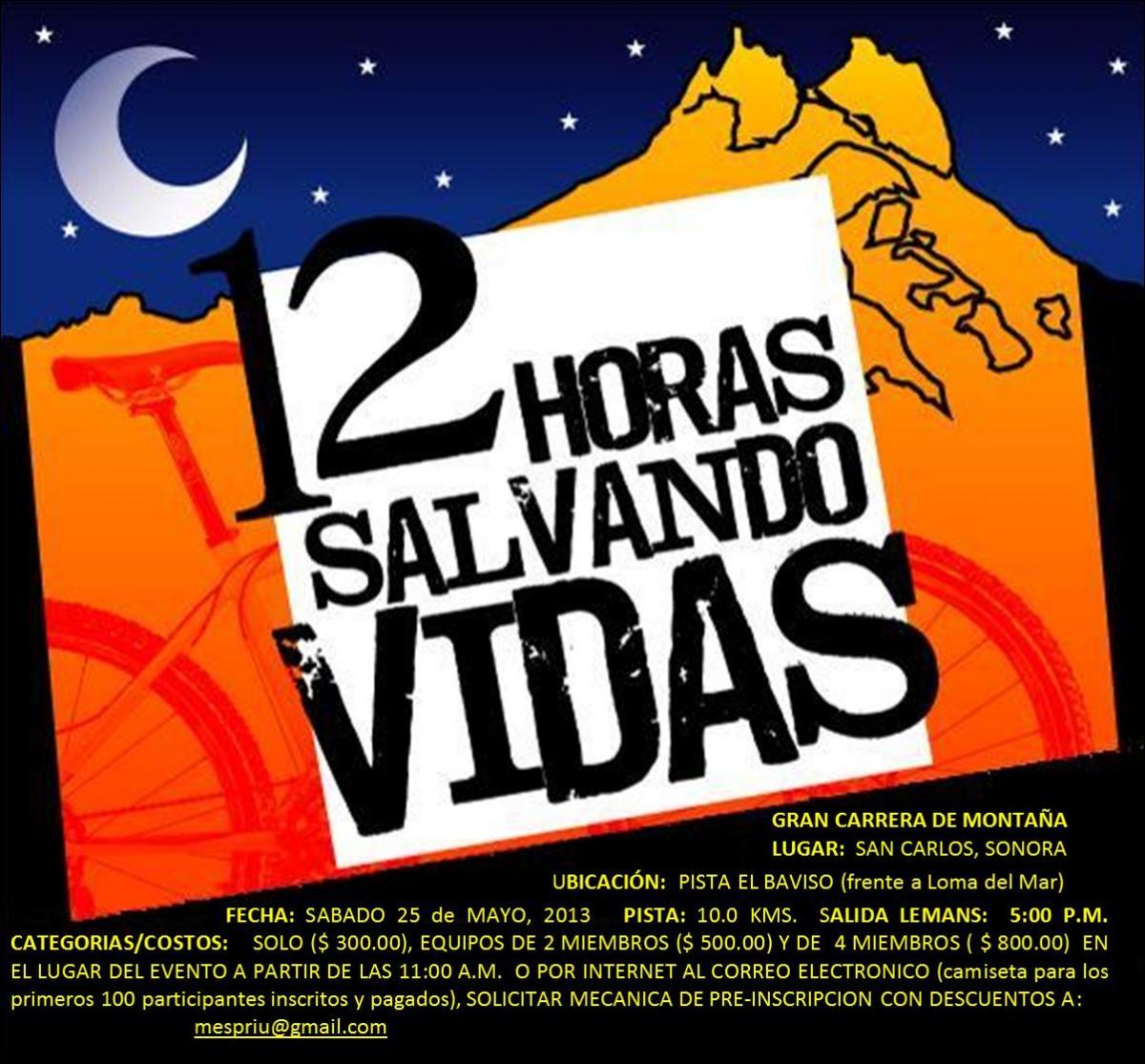
Mountain Biking Pista Baviso (12 horas)
#51 of 96 mountain bike trails in Mexico
Trail is an 8km loop of generally flat flowing singletrack with some doubletrack, arroyo crossings, sandy areas. Approx 45m of elevation change. Used for the annual 12 Horas Salvando Vidas MTB race in May, during the weekend of the US Memorial Day holiday.
First added by Mickey Taylor on Jan 3, 2014. Last updated Apr 28, 2020. → add an update
Before you go
- Drinking water: unknown
- Lift service: unknown
- Night riding: yes
- Pump track: unknown
- Restrooms: unknown
- Fat bike grooming: unknown
- E-bikes allowed: unknown
- Fee required: unknown
This trail information is user-generated. Help improve this information by suggesting a correction.
From San Carlos, follow signs to Nacapule Canyon. Trailhead parking is at southwest end of the airstrip runway.


Loading reviews...View more