


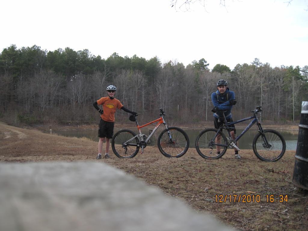
This is a Mixed terrain trail which as the figure 8 is only 8 miles long and utilizes about 4 miles of the Pinhoti Trail used in the first 17 Miles of the Snake Creek Gap time trials. You can add the John's Mountain Scenic Overlook as an out-n-back to make this ride about 12.5 miles long. With the addition, you will climb upwards to 2000ft in the 12.5miles.
Direction: when in the Pilcher's Pond parking lot, head strait out through the gates for about a mile of double track. You will pass a small pond on the right then a larger pond on the left. As you pas the larger pond on the left, you will cross a bridge (this starts the singletrack). From here you will come to a fork in the trail with a Pinhoti Trail sign. Continue up the hill in the direction in which you came (the trail to the left is the one you'll be coming back on). Continue on the Pinhoti Trail for a few miles of flowing, swooping singletrack until you come to another split in the trail...this time the Pinhoti turns right, but you will need to turn left. Follow this down the hill until you hit a gravel road climb. Continue with the climb, followed by a small creek crossing and a downhill until you come to a Paved road...this is Pocket road. Turn left onto the paved road and follow it for about 1.5 miles (uphill mostly) until you come to the John's mountain overlook road on the right. Turn right up the overlook road for about 3/4 mile until you come to the first sweeping right turn. Once in this turn, you will see the Pinhoti trail to your right (going uphill). This is the turn back towards the car if you do not want to do the 13 miler (which is the overlook addition)... for the elevation and mileage, continue up the following 2.5 miles of climbing until you come to the scenic overlook. It's a challenging climb, but has a nice view and a fun downhill. Once you're finished catching your breath, head back down the overlook road to the Pinhoti trail on the left. Start up the Pinhoti trail, it will climb for about 1/2 miles followed by some fun, kinda steep, singletrack that mellows out for a few miles until it hits Pocket road again. At this point, Cross Pocket road and continue with the Pinhoti Singletrack until you come to another "T" At this point turn right and it's about 1.5 miles to the car. If you want to do the figure 8 again, then turn left again up the pinhoti (at the previously mentioned "T")..
I'm sorry if this sounds complicated, it's really not hard to navigate. It's well ridden, well groomed and well marked. For any concerns or if you want a guide, check the NWGA Sorba website. www.nwgasorba.org has their own forum, if you post on it that you want a tour of this trail or any of their local trails, you'll be sure to have a guide or 2 readily available.

Loading reviews...View more