×

|
Rate it:
Tags:
Level:
Length: 19 mi (30.6 km)
Surface: Singletrack
Configuration: Out & Back
Elevation: +1,577/ -2,207 ft
Total: 1 riders
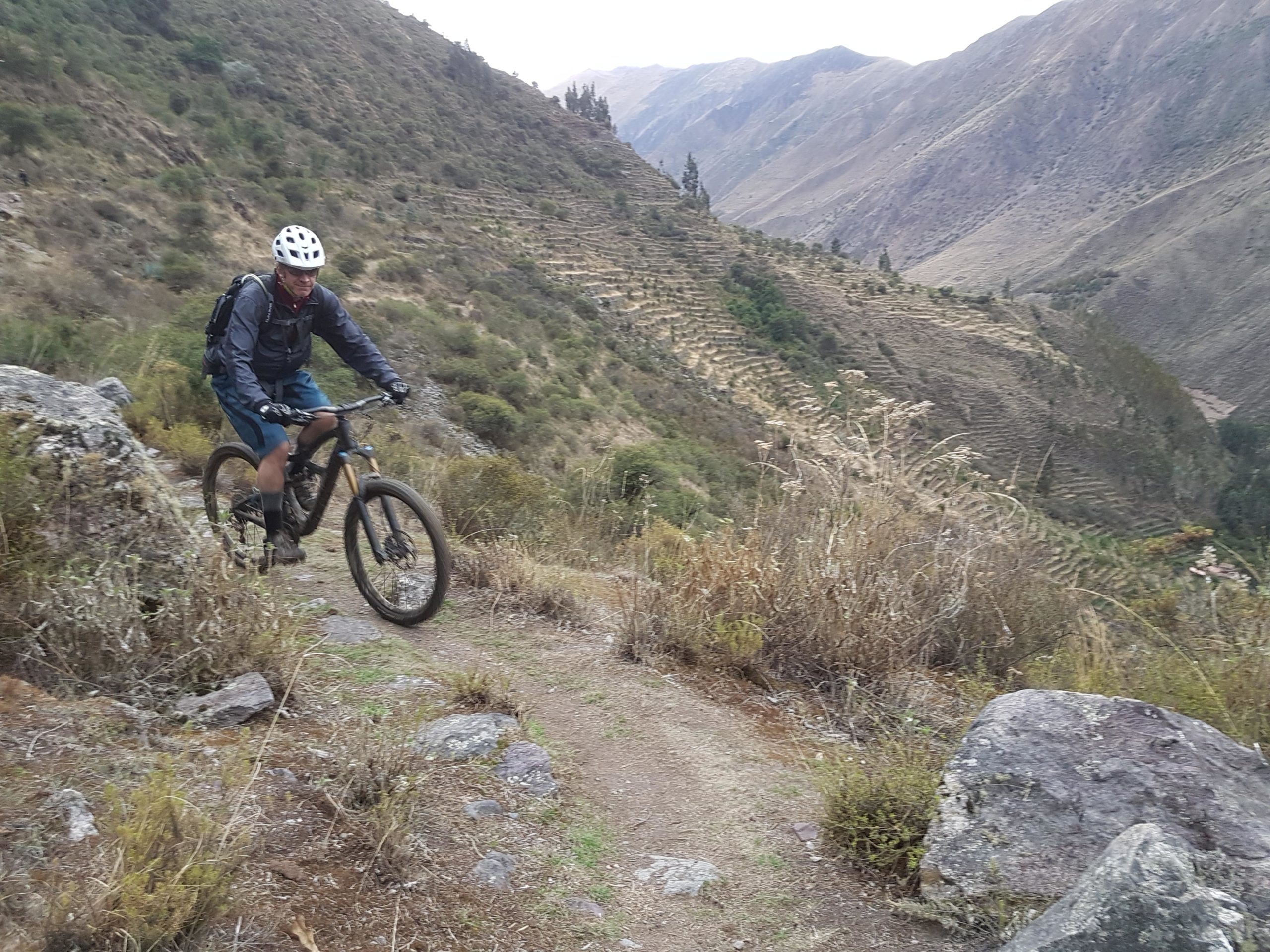
Mountain Biking Patacancha
#8 of 11 mountain bike trails in Peru
Inkas Adventures was the first to ride that trail with a bike back in 2007. After a few runs, we set the actual trail that follows ancient trails down the mountain until it reaches the village of Ollantaytambo.
First added by [email protected] on Mar 6, 2017. Last updated Apr 21, 2020. → add an update
Before you go
- Drinking water: unknown
- Lift service: unknown
- Night riding: unknown
- Pump track: unknown
- Restrooms: unknown
- Fat bike grooming: unknown
- E-bikes allowed: unknown
- Fee required: unknown
This trail information is user-generated. Help improve this information by suggesting a correction.
You have to reach first the village of Ollantaytambo and then go to the mountain pass on top of Patacancha Valley.


Loading reviews...View more