×

|
Rate it:
Tags:
Level: Beginner
Length: 30 mi (48.3 km)
Surface: Singletrack
Configuration: Out & Back
Elevation: -
Total: 5 riders
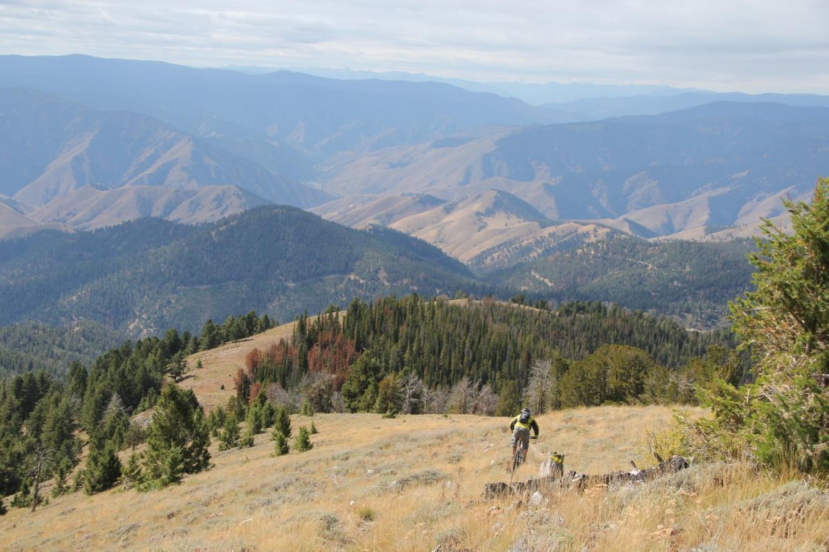
Mountain Biking North Fork
#372 of 1,005 mountain bike trails in California
north east corner of upper parking is the Potter Ravine Trail, stay right after creek crossing, left at second Wye. trail will T, you go right as far as you want to go they are continually adding to this trail. Call it 10 miles out and back, when back at the T, you can go straight or back the way you came. We did a little roaming around and had 35 miles at the end of the day
First added by Juan_Gear on Mar 18, 2010. Last updated Apr 28, 2020. → add an update
Before you go
- Drinking water: unknown
- Lift service: unknown
- Night riding: unknown
- Pump track: unknown
- Restrooms: unknown
- Fat bike grooming: unknown
- E-bikes allowed: unknown
- Fee required: unknown
This trail information is user-generated. Help improve this information by suggesting a correction.
Cross Oroville dam park to the left or pay your 8 bucks for upper parking , which save you about 100 feet of riding!!!!


Loading reviews...View more