×

|
Rate it:
Tags:
Level: Beginner
Length: 13 mi (20.9 km)
Surface: Singletrack
Configuration: Out & Back
Elevation: +1,091/ -1,226 ft
Total: 24 riders
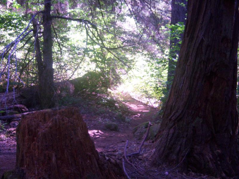
Mountain Biking Nature Trail
#289 of 1,005 mountain bike trails in California
Head East on Pioneer Trail at about 3 miles cross Conservation Road there is a Wye on other side of the road. Head down Pfieffer trail about 2 miles there is a sign to cross the road. Go down Rock Creek gravel road 1 mile, at the bottom Nature trail winds 1ish mile through a Micro Climate. Retrace you tracks
First added by Juan_Gear on Aug 28, 2008. Last updated Apr 28, 2020. → add an update
Before you go
- Drinking water: unknown
- Lift service: unknown
- Night riding: unknown
- Pump track: unknown
- Restrooms: unknown
- Fat bike grooming: unknown
- E-bikes allowed: unknown
- Fee required: unknown
This trail information is user-generated. Help improve this information by suggesting a correction.
5 miles up HWY 20 from the HWY 49 junction, is Harmony Ridge Market


Loading reviews...View more