×

|
Rate it:
Tags:
Level: Beginner
Length: 15 mi (24.1 km)
Surface: Fire Road
Configuration: Network
Elevation: +3,527/ -578 ft
Total: 28 riders
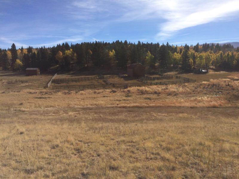
Mountain Biking Mueller State Park
#333 of 1,368 mountain bike trails in Colorado
There are alot of trails here but not all of them are open for biking. Most of the good trails that may have been open for biking are now closed to bikes. The trails are well marked and some small sections of singletrack can be found (but few are open to bikes). Mostly forest road type trails with sections of sandy, gravely terrain and some pretty steep hills. Good camping here though but you're better off driving down to Woodland Park to bike at Rampart Reservior or Lovell Gulch.
First added by Jeff Barber on Jan 1, 2003. Last updated Apr 30, 2020. → add an update
Before you go
- Drinking water: unknown
- Lift service: unknown
- Night riding: unknown
- Pump track: unknown
- Restrooms: unknown
- Fat bike grooming: unknown
- E-bikes allowed: unknown
- Fee required: unknown
This trail information is user-generated. Help improve this information by suggesting a correction.
From Colorado Springs, take US 24 West to Woodland Park. Continue on 24 to Divide, CO. At the light in Divide, turn left onto State Hwy 67. The park is about 5 miles on the right. Costs about $4 to get in or $10 for a campsite.


Loading reviews...View more