×

|
Rate it:
Tags:
Level: Beginner
Length: 4 mi (6.4 km)
Surface: Singletrack
Configuration: Network
Elevation: +124/ -123 ft
Total: 30 riders
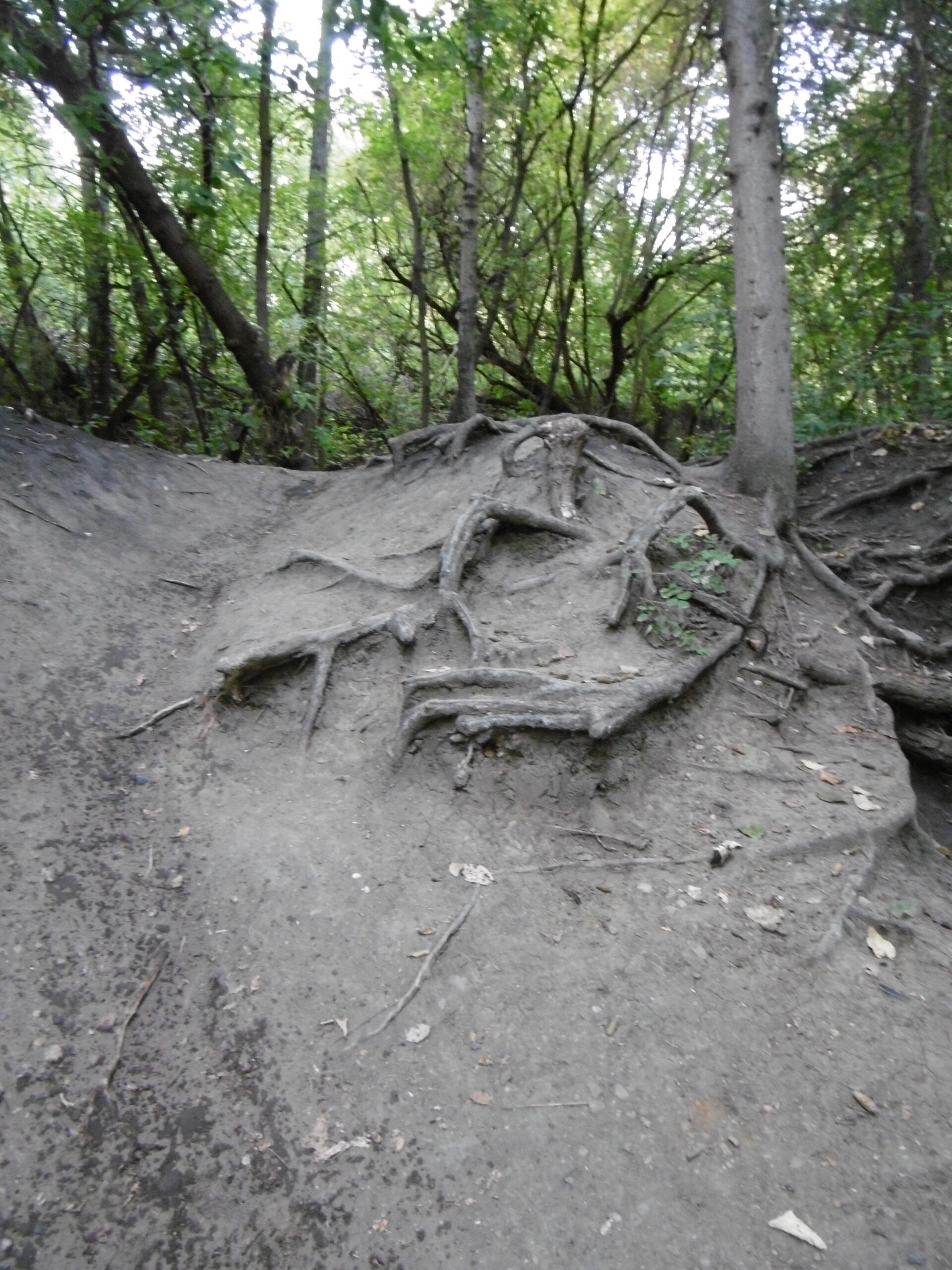
Mountain Biking Mill Creek Ravine (north)
#34 of 219 mountain bike trails in Alberta
Collection of Single Track, Double Track and Paved Trails. More trails the closer to the river you go to.
First added by Unbalanced72 on Jul 3, 2009. Last updated May 1, 2020. → add an update
Before you go
- Drinking water: unknown
- Lift service: unknown
- Night riding: unknown
- Pump track: unknown
- Restrooms: unknown
- Fat bike grooming: unknown
- E-bikes allowed: unknown
- Fee required: unknown
This trail information is user-generated. Help improve this information by suggesting a correction.
Start at 89ST and 63rd AVD and Park. Enter ravine Trails go from hear to the North Saskatchewan River.


Loading reviews...View more