×

|
Rate it:
Tags:
Level:
Length: 3 mi (4.8 km)
Surface: Doubletrack
Configuration: Out & Back
Elevation: -
Total: 0 riders
Mountain Biking Mccullough Gulch
#1,351 of 1,368 mountain bike trails in Colorado
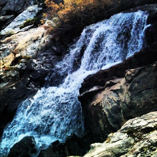
This is a steep trail, gaining 850 feet in less than a mile and a half. It's a tough trail all around, both technically and aerobically, and is popular with hikers, so your best bet is to get out here when traffic is at a minimum. Single and doubletrack lead from the trailhead up to a high alpine lake, where you will find some amazing views before heading back down.
First added by dr_albright on Sep 1, 2012. Last updated Apr 28, 2020. → add an update
Before you go
- Drinking water: unknown
- Lift service: unknown
- Night riding: unknown
- Pump track: unknown
- Restrooms: unknown
- Fat bike grooming: unknown
- E-bikes allowed: unknown
- Fee required: unknown
This trail information is user-generated. Help improve this information by suggesting a correction.
Take Highway 9 south from I-70 through Breckenridge and Blue River. Turn right on Blue Lakes Road (FDR 850), and then right on McCullough Gulch Road (FDR 851). Stay left at the fork, and then arrive at the trailhead.


Loading reviews...View more