×

|
Rate it:
Tags:
Level:
Length: 10.5 mi (16.9 km)
Surface: Greenway
Configuration: Out & Back
Elevation: +393/ -382 ft
Total: 1 riders
Mountain Biking Mayook Trail
#205 of 1,379 mountain bike trails in British Columbia
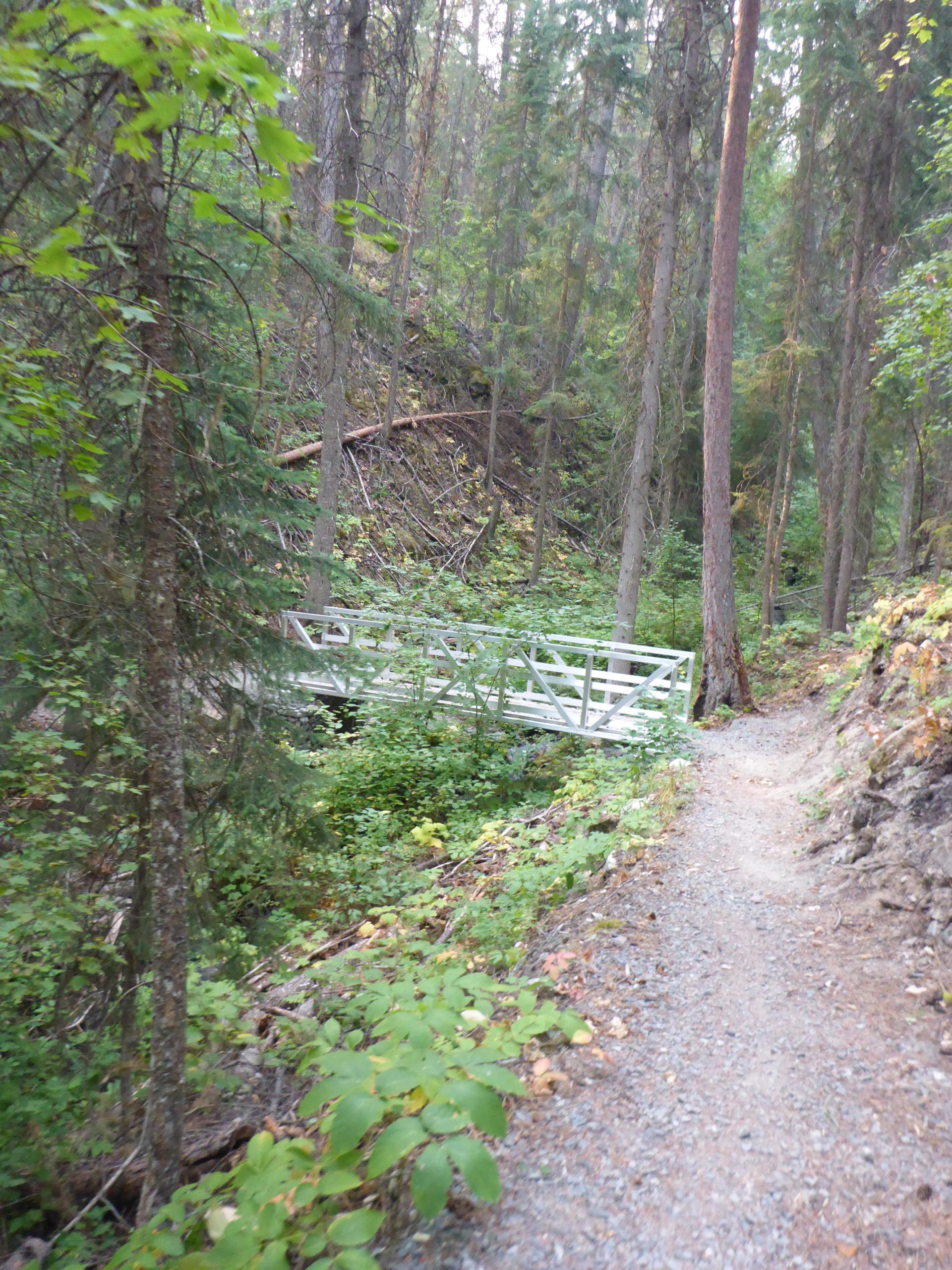
This trail is a little wider than singletrack. There is an outhouse at the top and at the other end. It is doable to travel both ways, if you enjoy a climb. I would suggest doing it from Pritchard and coming back to Pritchard as the down hill portion back down to Pritchard makes the ride worth it. This trail is part of the TransCanda Trail. This portion is not a rail bed however as it was sold back to farmers in 1970. So it runs along the side of Mount Baker, climbing an elevation of roughly 600 feet in either direction over a five mile stretch. It is not difficult, but it may be too much for a beginner.
First added by chuckpelley on Sep 5, 2017. Last updated May 11, 2020. → add an update
Before you go
- Drinking water: unknown
- Lift service: unknown
- Night riding: unknown
- Pump track: unknown
- Restrooms: unknown
- Fat bike grooming: unknown
- E-bikes allowed: unknown
- Fee required: unknown
This trail information is user-generated. Help improve this information by suggesting a correction.
Pritchard Road off of Highway 3


Loading reviews...View more