Marrington Trail trail photo
See all photos (22)
×
User
Today
 
  |   Rate it:

Tags:
Level: Beginner
Length: 12 mi (19.3 km)
Surface: Singletrack
Configuration: Loop
Elevation: +248/ -162 ft
Total: 109 riders
 

Mountain Biking Marrington Trail

****   Add a review
#23 of 115 mountain bike trails in South Carolina
#1,776 in the world

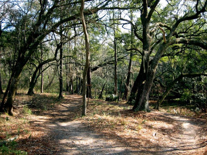
At the trail head, you'll find a posted map. There are usually maps in the mailbox at the trail head sign too. The trail is primarily single track. The main loop, which is well marked with red hash's on the trees and mile markers, is twelve miles that takes you through a pretty well maintained singletrack. The trail is considered pretty rooty (as described by some who have rode several more trails in this area of SC than I have). I didn't find the trail technically challenging. However, it's a good workout trail and there is enough scenery to keep the ride interesting.

I haven't seen "him" yet...but I understand there is a section of trail on a berm where one or two aligators like to bask in the sun :O....

There are two (or three) alternative routes that cut the ride a bit shorter (to about an 8 mile ride). These "short cuts" are marked in blue. As I discovered, after a good rain, you'll want to cut the back area of the twelve miles off and take one of the alternative routes, as that area is dubbed "The Amazon Swamp" for good reason. Although the area isn't impossible, the ride is not enjoyable due to deep mud (not to mention how it ruins the trail) It does look as if who ever maintains the trails are looking to remedy the trouble area's by raising the trail and putting down a one foot thick sand base over the worse area's.

There are a few jumps, berms and possibly a "pump track" near the last three or so miles for those of you who want a bit of "Free Riding" or BMX style riding...

First added by KenfromCali on Jul 7, 2006. Last updated May 10, 2020. → add an update
Before you go
  • Drinking water: unknown
  • Lift service: unknown
  • Night riding: unknown
  • Pump track: unknown
  • Restrooms: unknown
  • Fat bike grooming: unknown
  • E-bikes allowed: unknown
  • Fee required: unknown
This trail information is user-generated. Help improve this information by suggesting a correction.
Getting there
From Hwy 26, take Exit 205 North (Hwy 78 or University Blvd.). When you come to Hwy. 52, stay to the left (follow signs to Charleston Navel Weapons Station). Turn right on Snake River Road. Follow it into the Naval Weapons Station (there is no guarded gate at any point in my directions, however, you will be on the base, so act accordingly). You'll pass a few roads on your left including a water treatment plant. On your left (only way you can turn) you'll see a sign for Marrington Trails Wilderness Area. Turn left and enter the gate. The trail head parking in about 200 feet on your right.


Marrington Trail Trail map

Add to or improve this map // Share this map on your website

Local Info

Trail checkins

LStadelmeier (on Feb 13, 2024)
What's this?

Upcoming Events

None.
Add one

Trail conditions

Poor (on Feb 13, 2024)
login to update

Camping & Lodging

Coming soon!

Marrington Trail videos

Add a video
We don't have any videos of this trail yet. Add one here.

Mountain Bike Trails Near Goose Creek, South Carolina

****
Intermediate | 12 mi

Add a review

Rating
 
Difficulty
 
Review

Reviews

    Loading reviews...

Rider questions

Q: admission cost