×

|
Rate it:
Tags:
Level: Intermediate
Length: 4 mi (6.4 km)
Surface: Singletrack
Configuration: Loop
Elevation: +266/ -244 ft
Total: 2 riders
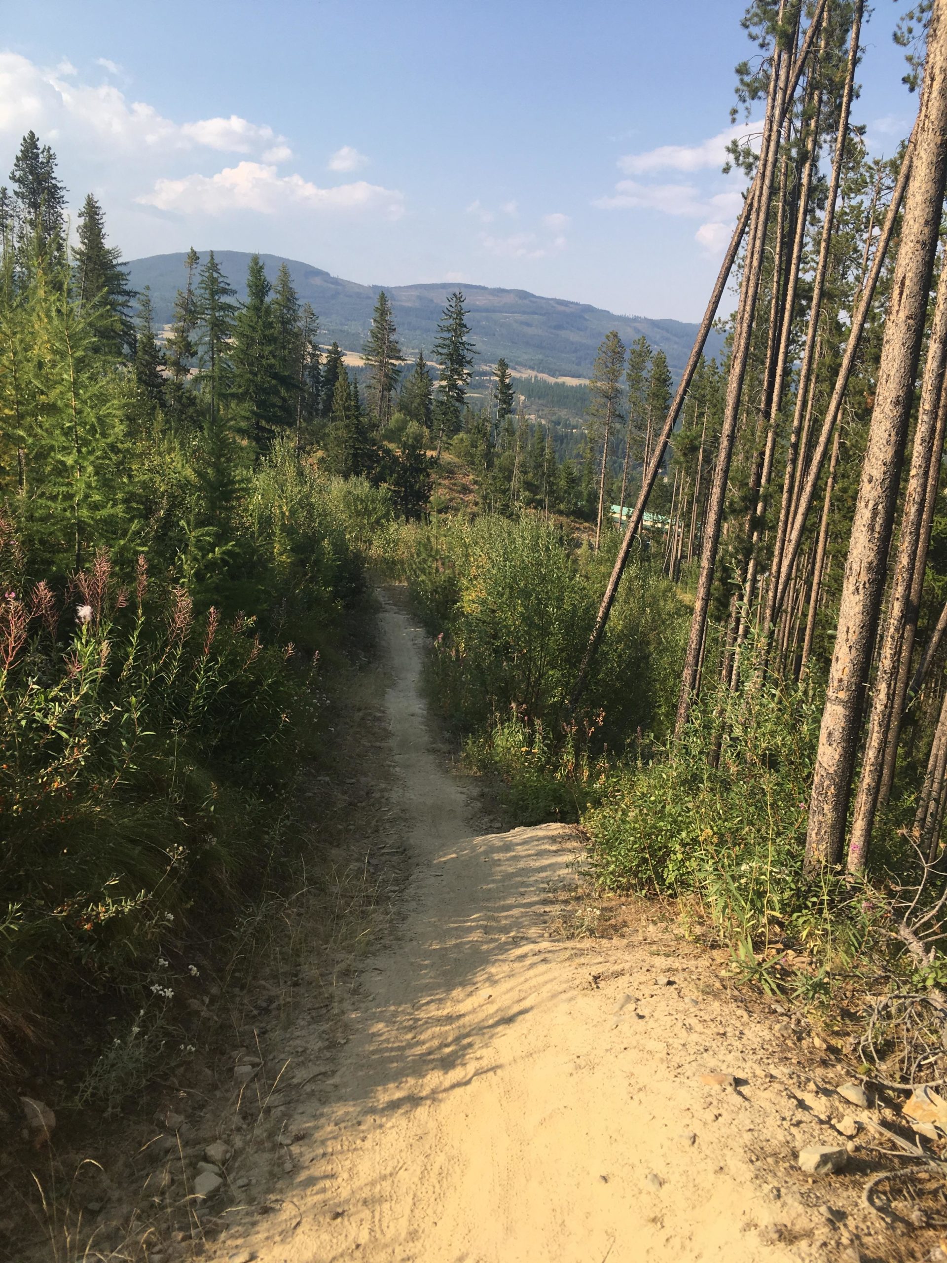
Mountain Biking Magic Line
#97 of 1,379 mountain bike trails in British Columbia
The trail is a loop and the best way to do it is clockwise. So start at the left trailhead. It is a major climb but the downhill is so sweet.
First added by chuckpelley on Jul 11, 2017. Last updated Jan 25, 2021. → add an update
Before you go
- Drinking water: unknown
- Lift service: unknown
- Night riding: unknown
- Pump track: unknown
- Restrooms: unknown
- Fat bike grooming: unknown
- E-bikes allowed: unknown
- Fee required: unknown
This trail information is user-generated. Help improve this information by suggesting a correction.
Follow Gerry Sorenson Way up to the parking lot at the trailhead


Loading reviews...View more