×

|
Rate it:
Tags:
Level: Intermediate
Length: 10 mi (16.1 km)
Surface: Singletrack
Configuration: One-way
Elevation: -
Total: 2 riders
Mountain Biking Lost Creek
#144 of 306 mountain bike trails in Oregon
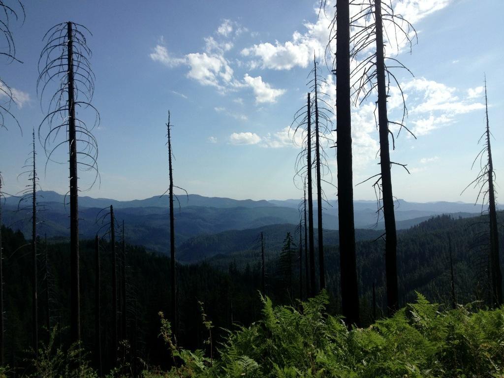
The trail starts near the top of Hardesty Mountain and then drops down the east/northeast side in the direction of Eugene. GPS coordinates given are for the top of the trail, where a shuttle would drop you off.
First added by Greg Heil on Aug 22, 2013. Last updated Apr 28, 2020. → add an update
Before you go
- Drinking water: unknown
- Lift service: unknown
- Night riding: unknown
- Pump track: unknown
- Restrooms: unknown
- Fat bike grooming: unknown
- E-bikes allowed: unknown
- Fee required: unknown
This trail information is user-generated. Help improve this information by suggesting a correction.
Near Hardesty Mountain


Loading reviews...View more