Long Sault Conservation Area trail photo
×
User
Today
 
  |   Rate it:

Tags:
Level:
Length: 13 mi (20.9 km)
Surface: Other
Configuration: Network
Elevation: +473/ -489 ft
Total: 4 riders
 

Mountain Biking Long Sault Conservation Area

****   Add a review
#138 of 312 mountain bike trails in Ontario
#6,978 in the world

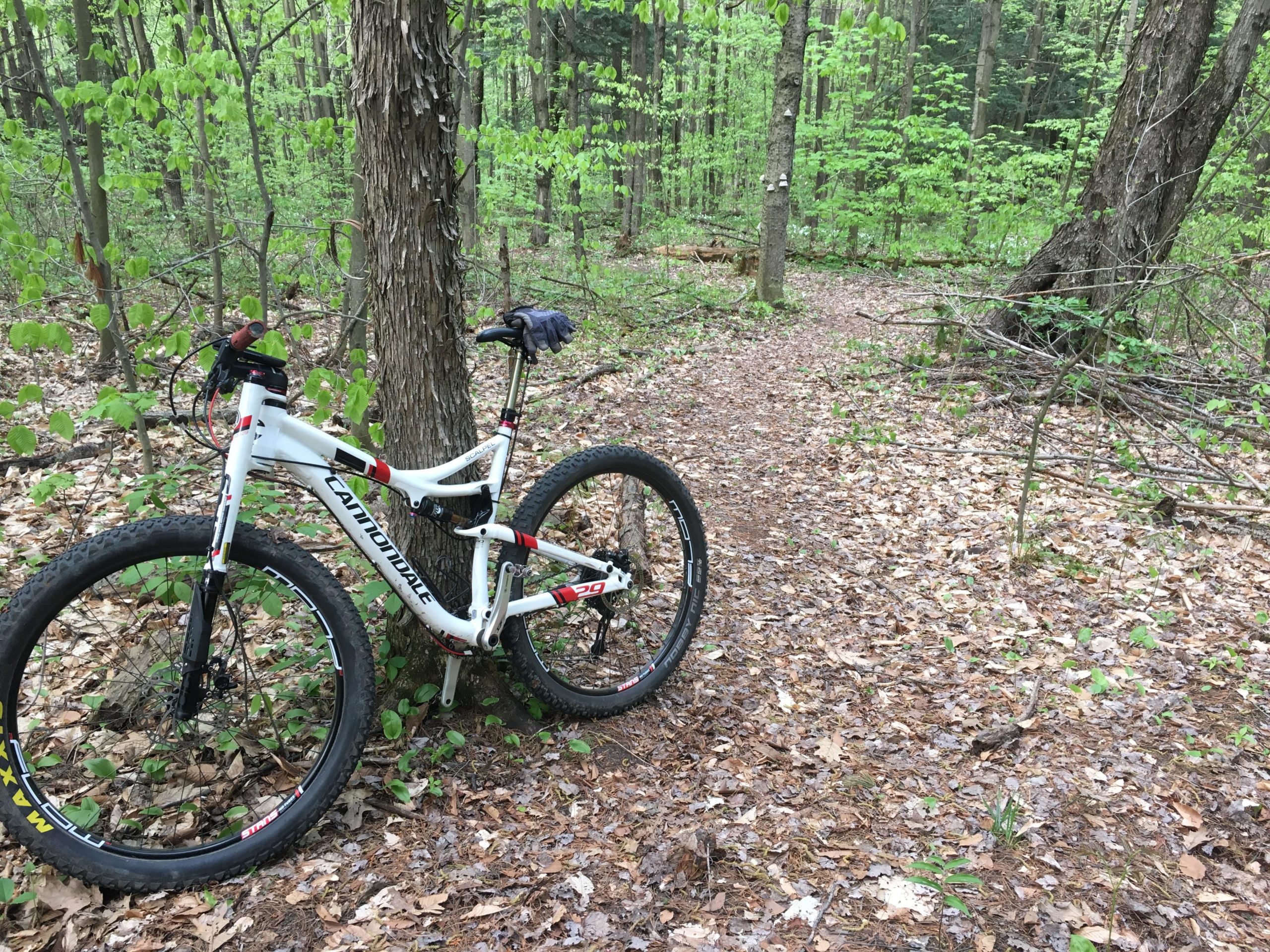
Smooth double track and some single track Gradual elevations changes for climbing and seceding add up

First added by Paul Loeffelholz on May 21, 2017. Last updated Apr 20, 2020. → add an update
Before you go
  • Drinking water: unknown
  • Lift service: unknown
  • Night riding: unknown
  • Pump track: unknown
  • Restrooms: yes
  • Fat bike grooming: unknown
  • E-bikes allowed: unknown
  • Fee required: unknown
This trail information is user-generated. Help improve this information by suggesting a correction.
Getting there
Highway 20


Long Sault Conservation Area Trail map

Add to or improve this map // Share this map on your website

Local Info

Club Sponsor

-

Trail checkins

Upcoming Events

None.
Add one

Trail conditions

Good (on May 20, 2017)
login to update

Camping & Lodging

Coming soon!

Long Sault Conservation Area videos

Add a video
We don't have any videos of this trail yet. Add one here.

Add a review

Rating
 
Difficulty
 
Review

Reviews

    Loading reviews...

Rider questions