×

|
Rate it:
Tags:
Level:
Length: 3 mi (4.8 km)
Surface: Singletrack
Configuration: Lariat
Elevation: +72/ -56 ft
Total: 3 riders
Mountain Biking Loch an Eilein
#36 of 72 mountain bike trails in Scotland
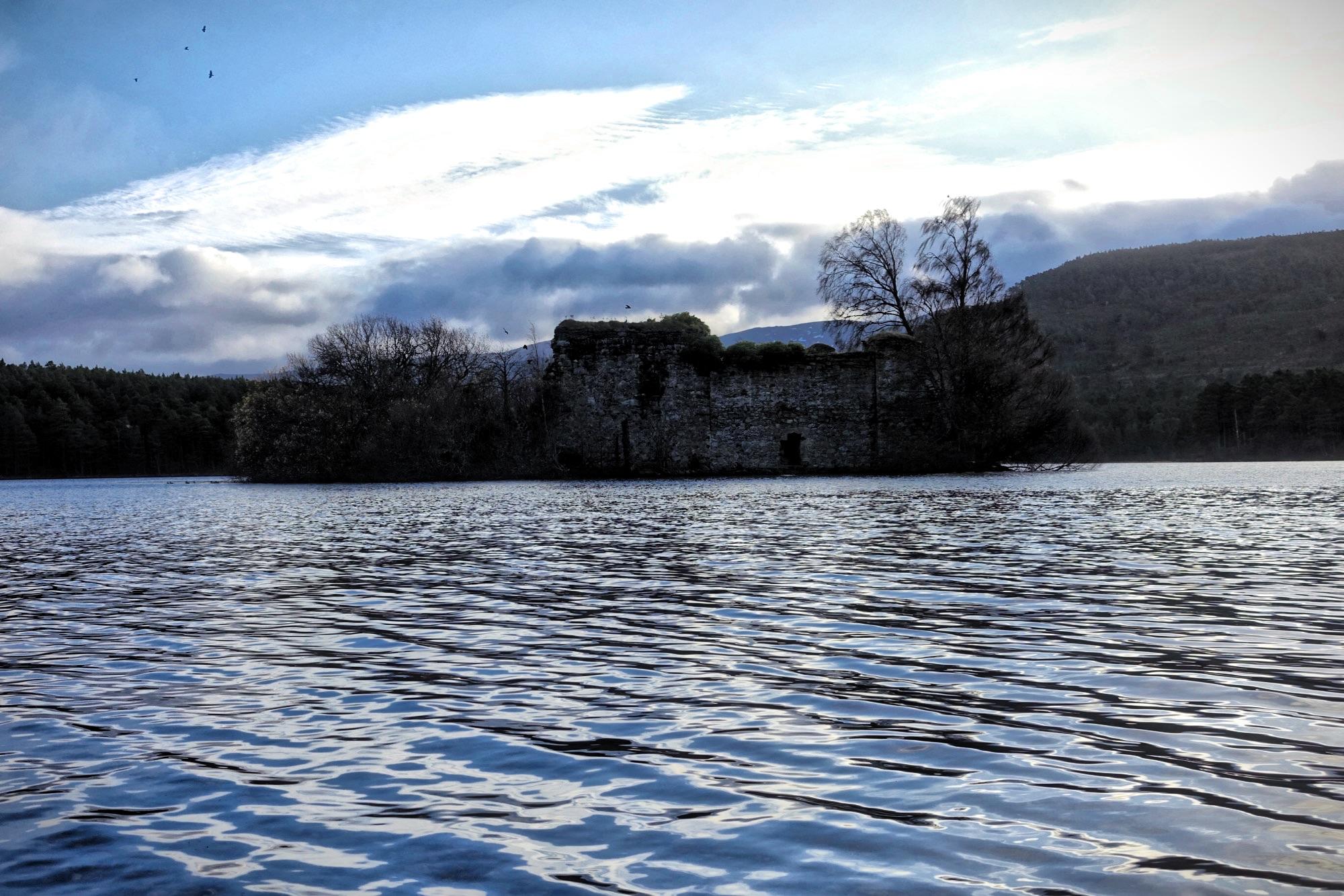
Loch an Eilein is a trail that goes to and around a lake by the same name, which means "lake of the island." In the center of the lake there is a -- you guessed it -- island, with a 13th century castle on it. Overall the singletrack is pretty easy, but some root webs can be tricky and slick.
First added by Greg Heil on Nov 23, 2016. Last updated Apr 21, 2020. → add an update
Before you go
- Drinking water: unknown
- Lift service: unknown
- Night riding: unknown
- Pump track: unknown
- Restrooms: unknown
- Fat bike grooming: unknown
- E-bikes allowed: unknown
- Fee required: unknown
This trail information is user-generated. Help improve this information by suggesting a correction.
Scotland


Loading reviews...View more