×

|
Rate it:
Tags:
Level: Intermediate
Length: 15 mi (24.1 km)
Surface: Fire Road
Configuration: Network
Elevation: +573/ -593 ft
Total: 11 riders
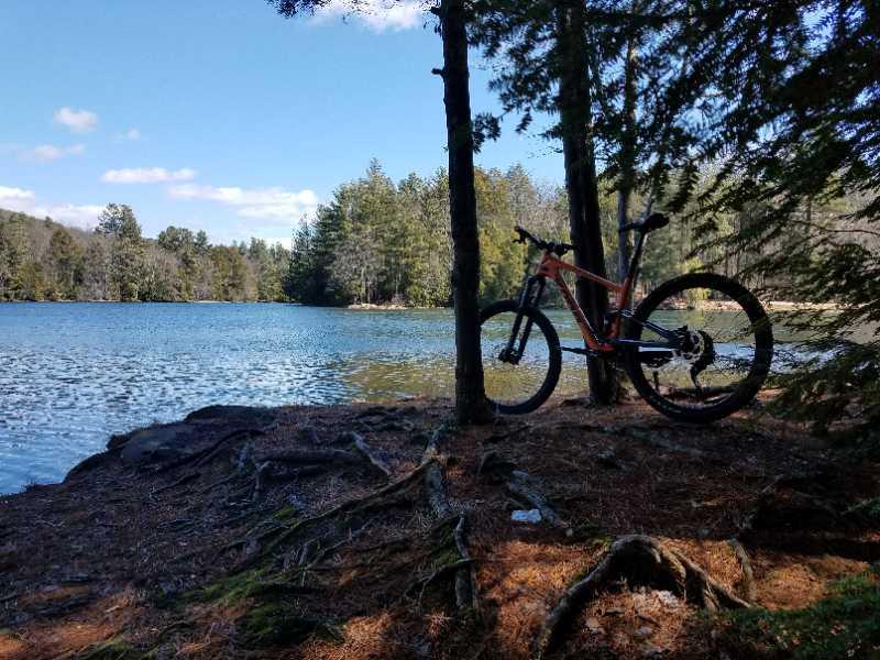
Mountain Biking Lithia Springs
#120 of 223 mountain bike trails in Massachusetts
Lots of trails, mostly fire road. Part of the Mount Holyoke Range. Can take trails along bottom of range and link into trails by Batchelor. Can also choose to climb the "mountains".
First added by PK1 on Jul 27, 2010. Last updated Apr 28, 2020. → add an update
Before you go
- Drinking water: unknown
- Lift service: unknown
- Night riding: unknown
- Pump track: unknown
- Restrooms: unknown
- Fat bike grooming: unknown
- E-bikes allowed: unknown
- Fee required: unknown
This trail information is user-generated. Help improve this information by suggesting a correction.
From Rt 116 S from Amherst, follow through the notch. When 116 turns left sharply, turn right onto Pearl St. Turn right ont Lithia Springs and follow to end. Park on side of road by gate.


Loading reviews...View more