×

|
Rate it:
Tags:
Level: Intermediate
Length: 7 mi (11.3 km)
Surface: Singletrack
Configuration: Network
Elevation: +413/ -392 ft
Total: 11 riders
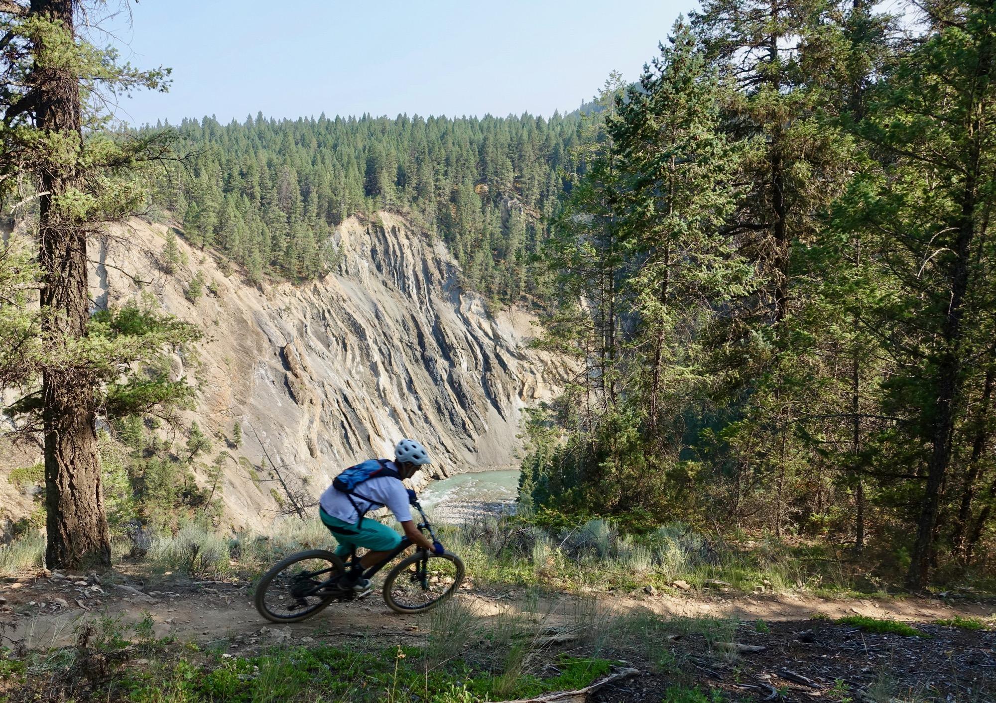
Mountain Biking Lake Lillian
#45 of 1,379 mountain bike trails in British Columbia
Great singletrack for all experiences
First added by chuckpelley on May 8, 2017. Last updated Apr 20, 2020. → add an update
Before you go
- Drinking water: unknown
- Lift service: unknown
- Night riding: unknown
- Pump track: unknown
- Restrooms: unknown
- Fat bike grooming: unknown
- E-bikes allowed: unknown
- Fee required: unknown
This trail information is user-generated. Help improve this information by suggesting a correction.
Follow Toby Creek Road out of town to Lake Lillian, park and cross the highway to the trailhead.
System trails (4)


Loading reviews...View more