×

|
Rate it:
Tags:
Level: Easiest
Length: 500 mi (804.7 km)
Surface: Singletrack
Configuration: Out & Back
Elevation: +2,005/ -2,021 ft
Total: 26 riders
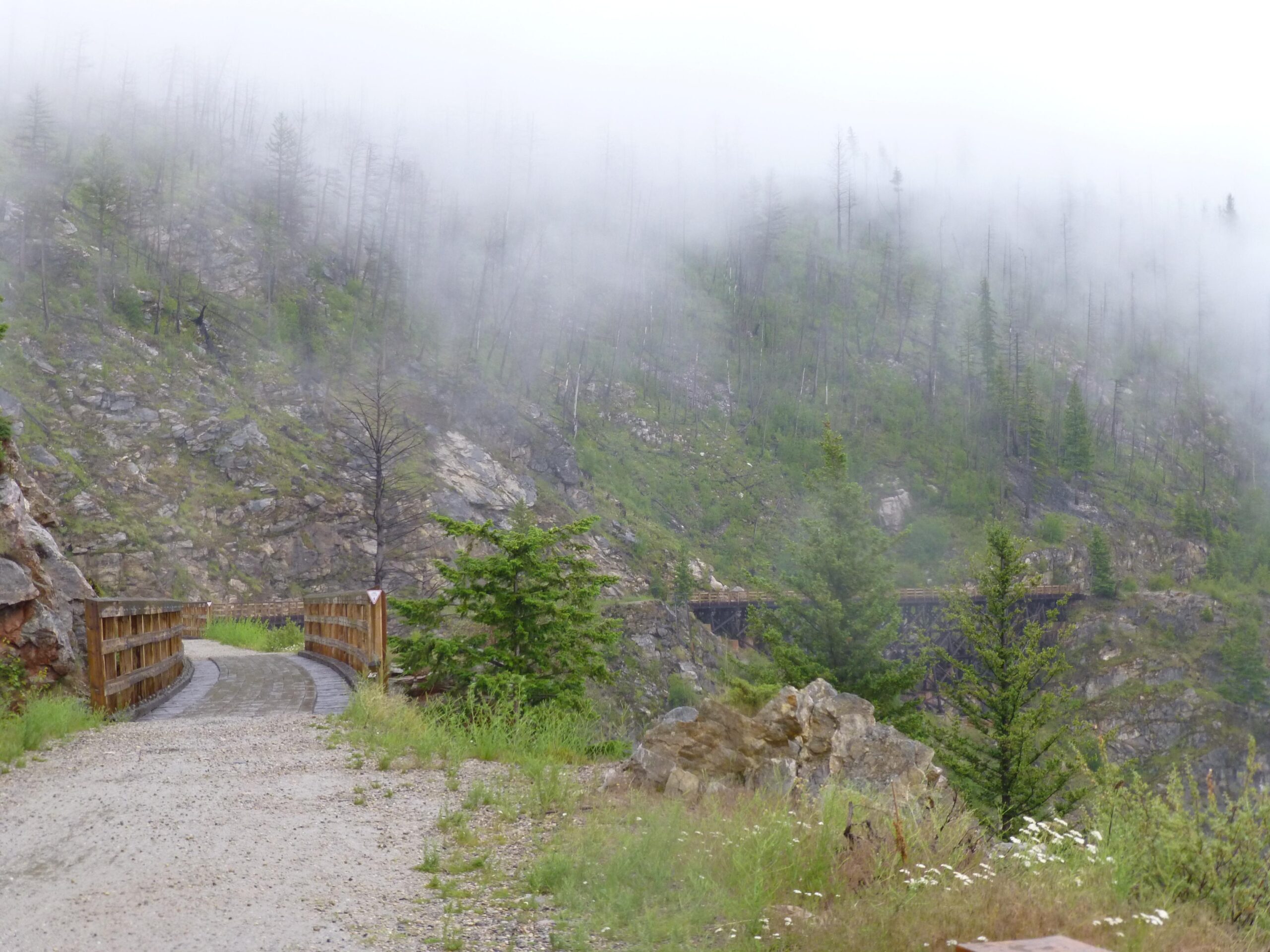
Mountain Biking Kettle Valley Railway Trail (KVR) Myra Canyon to Penticton return
#5 of 1,379 mountain bike trails in British Columbia
A lot of visitors from North America, Europe and Asia do this ride either on their own or as part of an organized ride. Google KVR and you will find lots of info. It makes for a fantastic trip for either a weekend or a couple of weeks, depending on how much time you have.
First added by searsandrewj on Jan 13, 2006. Last updated Apr 30, 2020. → add an update
Before you go
- Drinking water: unknown
- Lift service: unknown
- Night riding: unknown
- Pump track: unknown
- Restrooms: unknown
- Fat bike grooming: unknown
- E-bikes allowed: unknown
- Fee required: unknown
This trail information is user-generated. Help improve this information by suggesting a correction.
You can pick up this trail at several points as it goes across Southern BC following an abandoned railway line. My suggested route is to start at Beaverdell follow the route to near Kelowna and crossing the now rebuilt (from fire in '03) seven railway trestles in Myra Canyon. Continue along to Penticton, Princeton and finish in Hope. There are other options to take. There are guidebooks and maps for this ride.
Featured in


Loading reviews...View more